 ADVNTR Road guide
Park Guide · Northwestern Montana, Northern Rockies
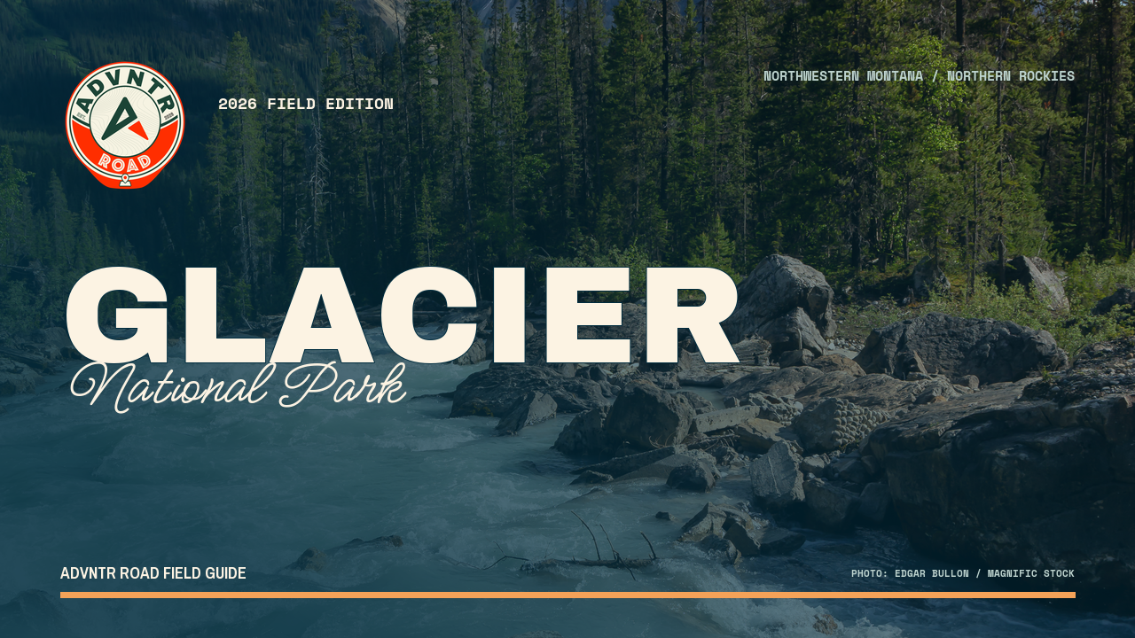
Glacier National Park
A 33-page, route-first guide for planning Glacier through its west side, Going-to-the-Sun Road and Logan Pass, St. Mary and Two Medicine, Many Glacier, and the North Fork.
The Trailhead
Current conditions that may change your trip
Rimrocks rockfall claims a life
Park officials have confirmed the death to local reporters, though no park news release has posted yet. Rimrocks has killed before — 1962, 1996, 2019 — and the stretch just past Logan Pass isn't scenery you can route around.
See what changed →The point of this guide
A better trip starts with a better read of the place.
Glacier is not one scenic road with a park attached. It is a set of valleys, entrances, and seasonal systems linked by a road whose alpine section opens and closes on its own timetable. This guide helps you choose a coherent route instead of treating the park like one compact loop.
Inside the guide
What this guide helps you plan
Updated August 2026
Orientation
Read the park as five systems
A route-first overview of Apgar and Lake McDonald, Going-to-the-Sun Road and Logan Pass, St. Mary and Two Medicine, Many Glacier, and the North Fork.
Trip plans
Build the trip around the road
Two-, three-, and six-day plans that match entrances, overnight bases, alpine access, and the time required for separate valleys.
Field notes
Keep a backup ready
Offline-first planning for limited cell coverage, resupply, campground fit, seasonal access, weather, and the conditions that can change a high-country day.
Before you go
A few practical truths, up front
Conditions and prices move. Recheck the official links before departure.
- Park scale
- Over 700 miles of trailsCheck park scale details →
- Primary corridor
- Going-to-the-Sun RoadCheck primary corridor details →
- Plan around
- Entrances, seasonal access, and resupply
- Offline essential
- Limited cell coverage and current trail statusCheck offline essential details →
A look inside
See how the place and route fit together
A sample of the guide’s photography and route maps.
Field imageKeep it current
Check official conditions before you leave
Ready to plan the trip?