


September is the season when a road trip gains room and loses guarantees. Carry the water, know the last ride, and draw the route as a sequence of real crossings rather than a line between park names. The map is not scenery this week. It is the argument.
This was a week when the map stopped behaving like a backdrop and became the trip itself. On Olympic's west side, one bridge can divide a peninsula into two separate itineraries. At Arches, a shuttle finally makes the most crowded trailheads reachable without winning a parking-space lottery. Glacier is moving in the opposite direction as summer service falls away, leaving Logan Pass simpler on paper and less forgiving in practice. The pattern reaches beyond roads. A landslide broke the Gorge's paved trail, while Grand Canyon's flood recovery has made water and inner-canyon access the first decisions, not afterthoughts. None of this argues for staying home. It argues for planning the exact seam your trip depends on: the bridge between rainforests, the last shuttle from a trailhead, the tap that has gone dry, the trail segment with no walking detour. September rewards specificity. A park can be open and your route can still be impossible; it can be busy and a new piece of infrastructure can still make the day easier.

Olympic National Park
The Hoh bridge is about to split Olympic's west side at night, then for days at a time. Build the peninsula loop north-to-south or south-to-north; don't expect Highway 101 to stitch it together.
Overnight closures begin September 14 and run from 10:30 p.m. to 5:30 a.m. through September 22. The harder break follows: three closures lasting as long as six days each begin September 24, October 1, and October 8. There is no local detour across the Hoh River. Going around the east side of the peninsula adds at least four hours and turns a tidy loop into a different trip. The bridge sits south of Forks and the Hoh Rain Forest, leaving those places with Lake Crescent, Sol Duc, Mora, and Hurricane Ridge on the north side; Kalaloch, Queets, and Quinault sit south of the break. Sequence the coast deliberately and cross before the closure clock.
 NPS Photo
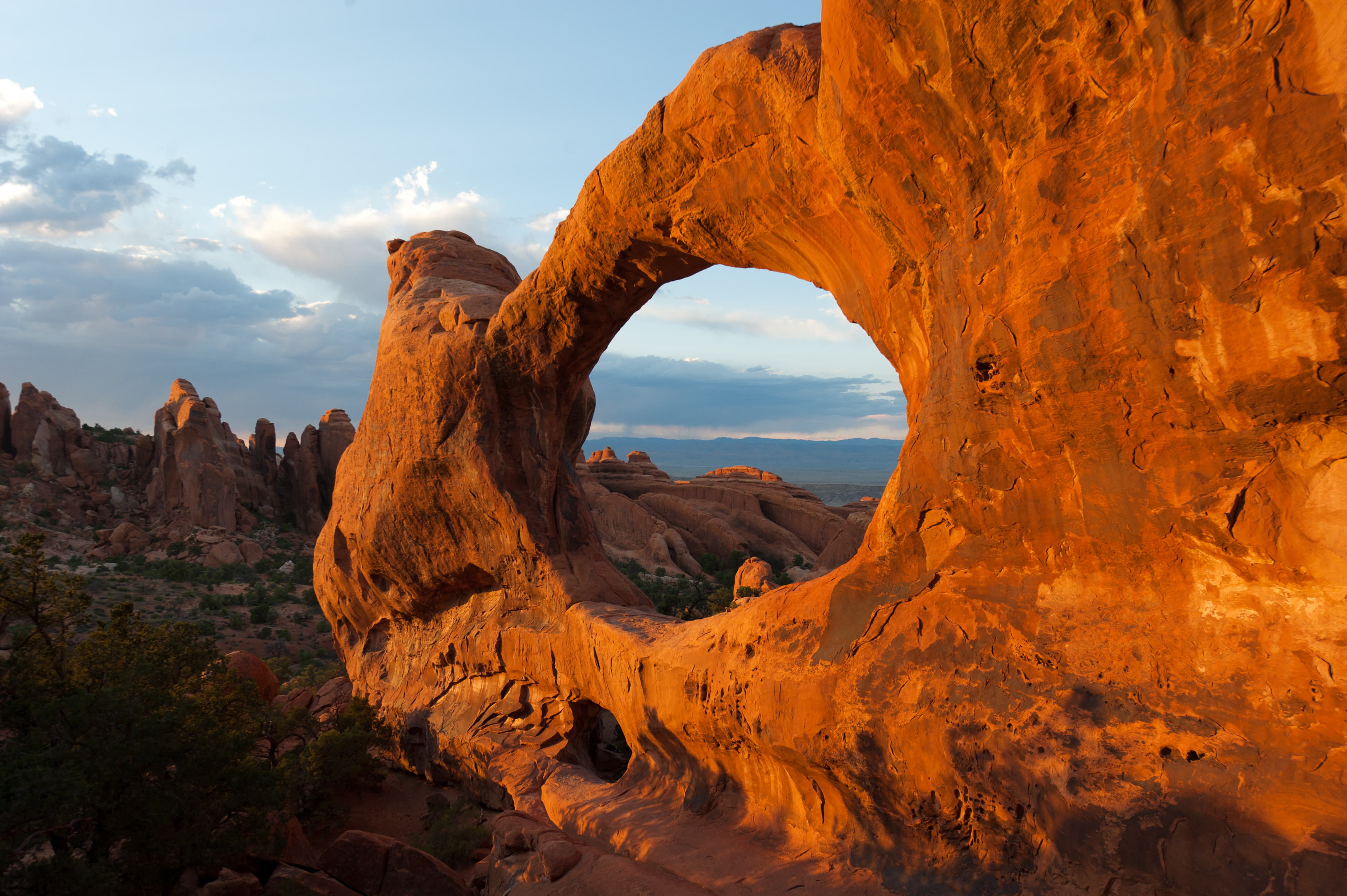
Arches National Park
Arches finally has a practical answer to the parking hunt: leave the car in Moab and ride to Delicate Arch or the Windows. The catch is the clock— the last Delicate Arch pickup leaves at 4:05 p.m.
The new shuttle connects downtown Moab with the Arches Visitor Center, then continues to the Windows Area and Delicate Arch trailhead. It runs daily from 8 a.m. to 5 p.m. through October 31, with pickups every 15 to 30 minutes. Rides are free with a valid Arches or America the Beautiful pass, and no advance booking is required. That makes it useful, not merely symbolic: you can remove the entrance queue and two famously competitive parking lots from the day's hardest decisions. It is not an evening shuttle, though. The final scheduled departure from Delicate Arch is 4:05 p.m., so sunset hikers still need another plan.
Grand Canyon National Park
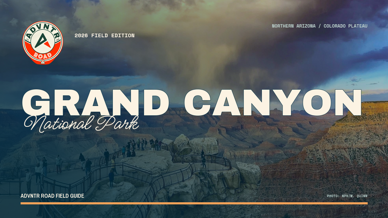
Both rims are open, but the inner canyon is not a normal trip. Bring drinking water to the South Rim, treat Phantom Ranch access as closed, and leave the active search area entirely to response crews.
Recovery from the August 29 flash flood has moved from uncertainty to a plan, but not to normal operations. Crews expect the temporary Bright Angel Creek intake and reliable South Rim water service to take weeks, not months. Tap water remains safe and there is no boil notice, yet stored water is still carrying the rim while portable tanks, bottled water, showers, and toilets fill gaps. Inner-canyon closures remain in affected areas, including Phantom Ranch and the lower Bright Angel and South Kaibab corridors. One person remains missing, with search teams working near Phantom Ranch and downstream along the Colorado. This is a recovery zone: keep a rim visit conservative and do not improvise around canyon closures.
Glacier National Park
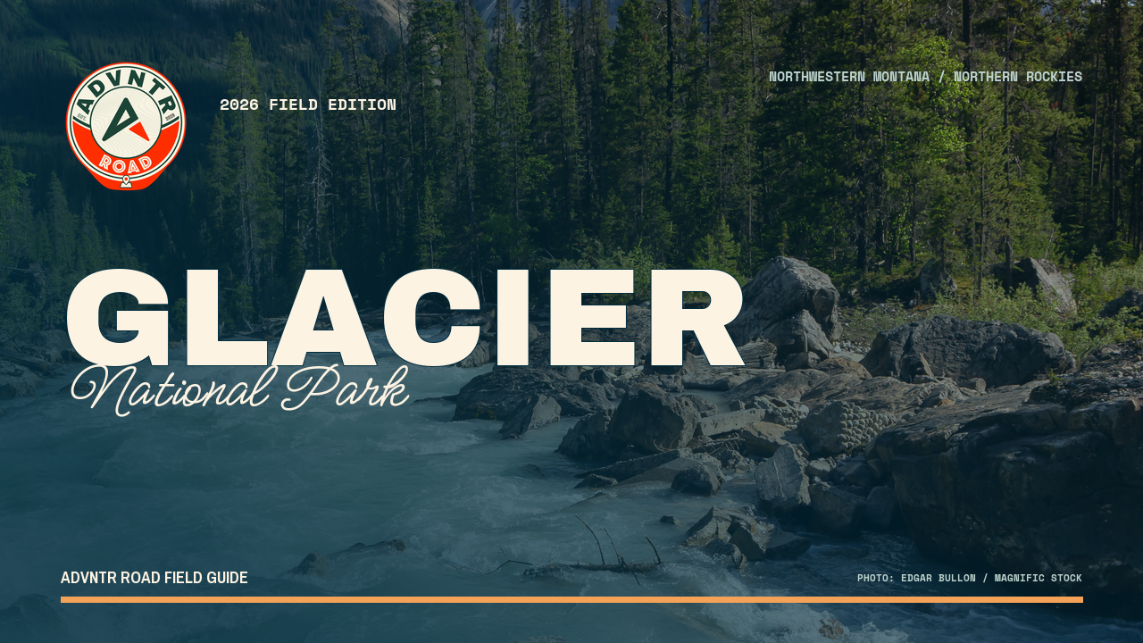
Logan Pass is back to first-come parking with no shuttle and no water. You can stay longer than three hours, but only if you win one of 235 spaces and arrive carrying every drop you need.
Glacier ended its 2026 Logan Pass shuttle and three-hour parking limit, returning the 235-space lot to first-come, first-served use until the alpine road closes for winter. The trade is blunt: no time limit once you park, but no reservable early ride to get you there. Water at the visitor center was also shut off September 8, and bottled water is not sold there. Visitor center hours shortened to 9 a.m.–4 p.m. on September 13, with the seasonal closure scheduled after September 27. A long Highline day is still possible; it now begins with an early parking gamble and enough potable water already in the vehicle.
Columbia River Gorge
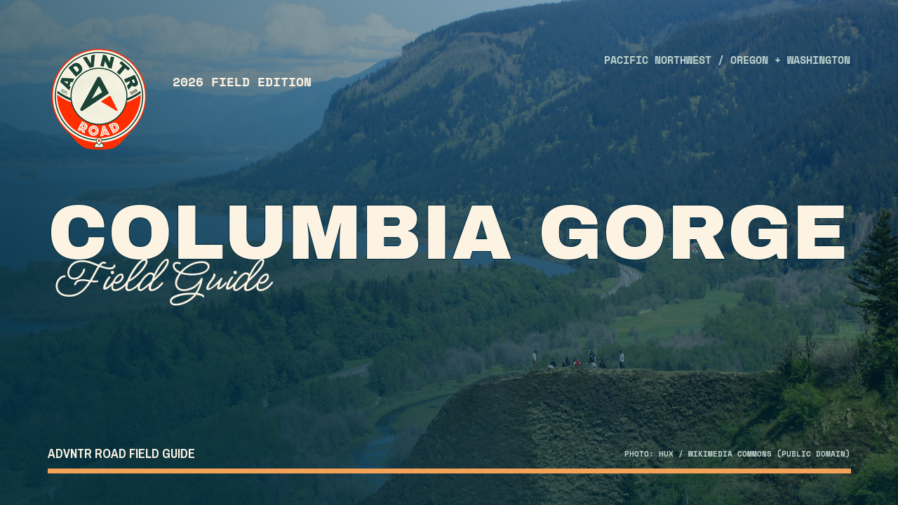
The paved Gorge trail is broken between Eagle Creek and Cascade Locks. Cyclists can shoulder the I-84 detour; hikers have no recommended bypass. Treat Bridge of the Gods as an endpoint, not a through-route.
A landslide closed the Historic Columbia River Highway State Trail between Eagle Creek and Cascade Locks on September 9. Crews are clearing debris with heavy equipment, and the segment will stay closed until the work and a follow-up inspection are complete. The distinction between travel modes matters here. Bicyclists may detour on I-84, a noisy and exposed solution that will not suit every rider. There is no recommended hiking detour. Anyone building a car-free day around Eagle Creek, Cascade Locks, and the Bridge of the Gods should plan two separate outings until the trail is declared open.
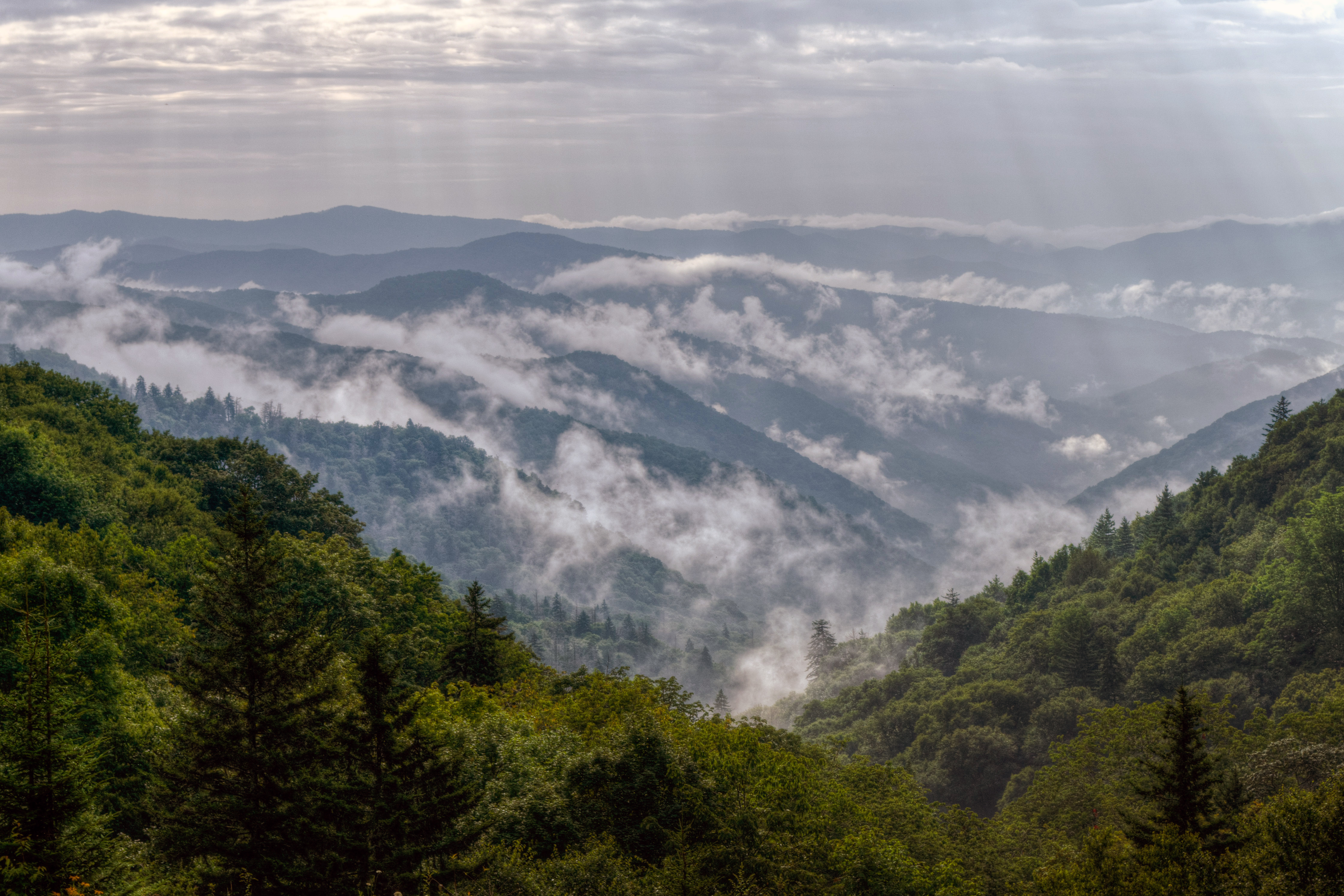 Kristina Plaas
Great Smoky Mountains National Park
The Spur stays open, but daylight lane work starts on the busiest link between Pigeon Forge and Gatlinburg. Keep the route; stop pretending its drive time is fixed through September 30.
Guides this may change: Olympic National Park
Also tracking, not yet confirmed
Grand Teton September road and trail disruptions remain active
Not yet verified for trip planning. Check the linked source directly before acting.