

None of this week’s stories would change an itinerary on their own. Taken together, they’re a reminder that “safe” terrain in a national park is a probability, not a guarantee, and the probability shifts with fire season, rockfall season, and how far you’ve wandered past the parking lot without checking in.
Five stories cleared verification this week, and none of them touch a published guide directly — the weight instead falls on places about to matter: North Cascades, holding a guide that's built and ready to sell; Grand Teton and Grand Canyon, both on the roadmap; Glacier and Canyonlands the same. The through-line, if there is one, is that summer risk in the parks this year keeps showing up in terrain everyone assumed was ordinary rather than terrain everyone already warns about. A fire in North Cascades' backcountry jumped an international border. A rock came through a windshield on a paved road below Logan Pass. A search for a missing hiker played out not on a maintained trail but on an unmarked boundary road at the Grand Canyon. None of these are the dramatic slot-canyon or cliff-edge dangers the safety briefings emphasize — they're the ordinary infrastructure of a park visit, and this week all three failed someone. Against that, Grand Teton closed out a quiet, decent piece of news: 35 acres that will never become a subdivision. Take the wins where you find them.
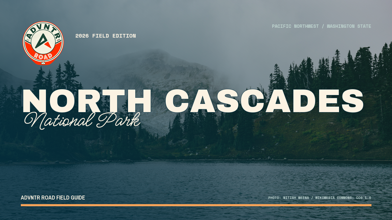
North Cascades National Park
This is the summer's third fire complex here, and the first to jump the international border. If Ross Lake or Stehekin is on your route, treat the closure page as a daily check, not a pre-trip one.
What began as a scatter of small lightning fires in early July — Luna, Rigby, Little Beaver, all a few acres apiece — has consolidated into one real problem. Border 1 and Border 2 combined this week into a single fire now burning at roughly 300 acres in remote, steep terrain along the U.S./Canada border, and it has crossed the line into Canada and onto national forest land, under a full-suppression strategy. The park's blanket campfire ban remains in force complex-wide. None of this closes North Cascades outright — the Ross Lake corridor and Stehekin still function — but it changes what "checking conditions" means this year: not a glance the morning you leave, but a habit for the whole trip.
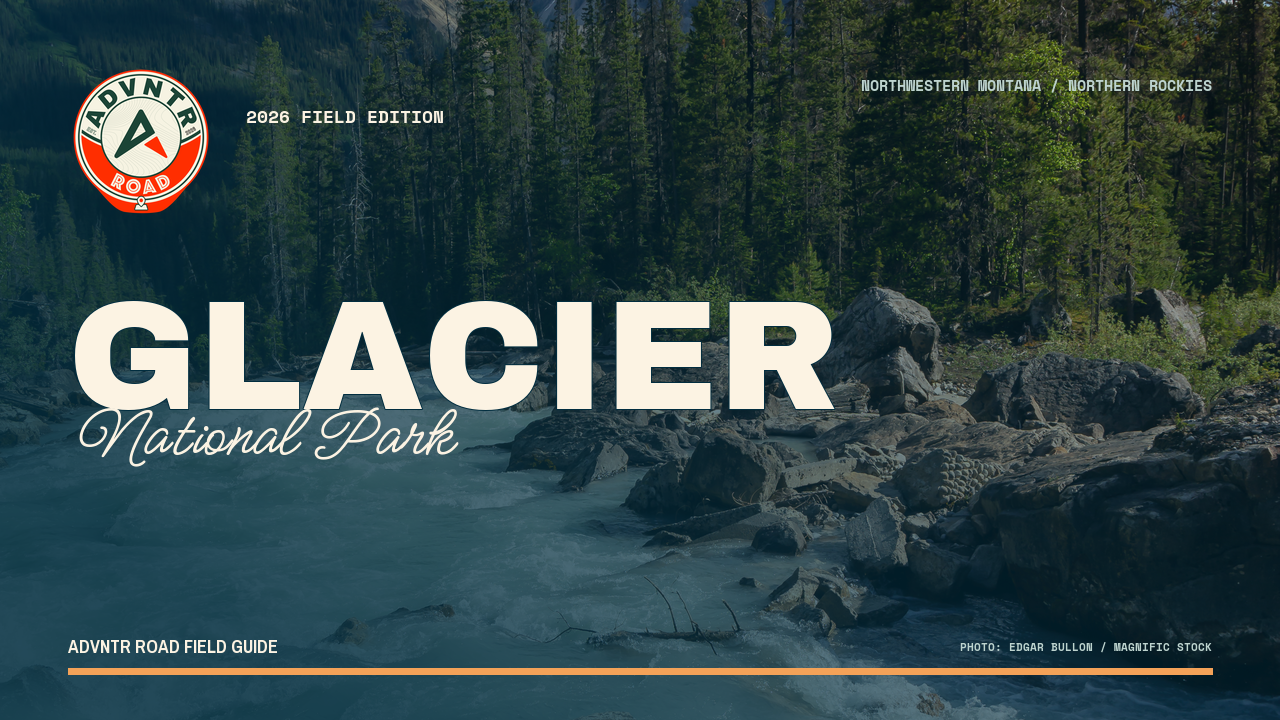
Glacier National Park
Park officials have confirmed the death to local reporters, though no park news release has posted yet. Rimrocks has killed before — 1962, 1996, 2019 — and the stretch just past Logan Pass isn't scenery you can route around.
A rock fell through the roof of a moving vehicle at Rimrocks, the cliff face just west of Logan Pass, on July 11. The man struck by the rock, identified by the Flathead County Sheriff's Office as Rex Schowengerdt, 73, of Missouri, has died from his injuries, park officials confirmed this week. The road closed for about two hours while rangers and the park's emergency rescue team responded. Crews have bolted parts of the cliff face above the road in past years, but bolting manages the hazard rather than removing it. The Highline Trail crosses this same slope above the road, and rockfall injuries here go back decades. No park release had gone up confirming the death at press time; the identification comes from local reporting citing park communications staff directly.
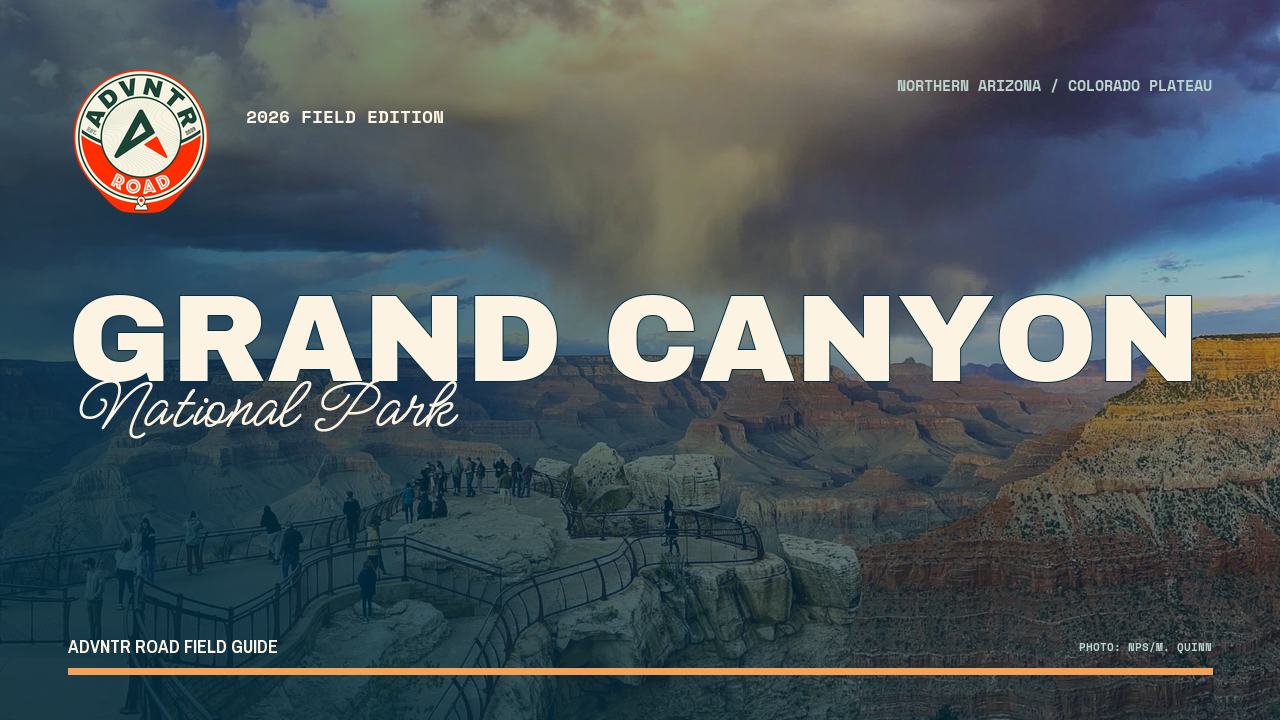
Grand Canyon National Park
An 83-year-old solo hiker went missing off an unmarked Forest Service road near the North Rim boundary, found alive a day and a half later. The maintained trails aren't where North Rim visitors get lost — the boundary roads are.
On July 21, a hiker reported he'd become separated from his partner in a remote stretch of the North Rim, near the park's northeast boundary along Forest Service Road 610, known locally as Dog Saddle. The missing hiker, Gerald Guinn, 83, of Kanab, Utah, prompted a search involving Grand Canyon, Coconino County, and Kane County search and rescue teams. He was located the following evening via helicopter reconnaissance, roughly 2.5 miles from where he was last seen, and extracted by litter carry to a nearby roadway. The North Rim's developed area gets the safety messaging; the boundary-adjacent forest roads, used by hunters, backcountry hikers, and day-trippers who wander past cell coverage, get almost none. That gap is where this incident happened.
Grand Teton National Park
This isn't a closure or a fee change — it's 35 acres of high-value, high-development-risk land near Teton Village that will never become another lodge. Quiet news, but it's the kind that actually holds a landscape.
Grand Teton has closed on the last of six parcels purchased from the Resor family near the Granite Canyon entrance, adding 35 acres and completing a land assembly that has run for roughly 25 years. The park paid just under $11 million for the tract, funded through the Land and Water Conservation Fund. The Conservation Fund's Wyoming director called the site's development risk extreme given its location and topography — it sits east of Jackson Hole Mountain Resort's Saratoga Bowl, exactly the kind of view-shed parcel that draws private buyers. No trail changes, no new access point, nothing that shows up on a map update. What it means is one less private inholding inside a park boundary that has carried them for a century.
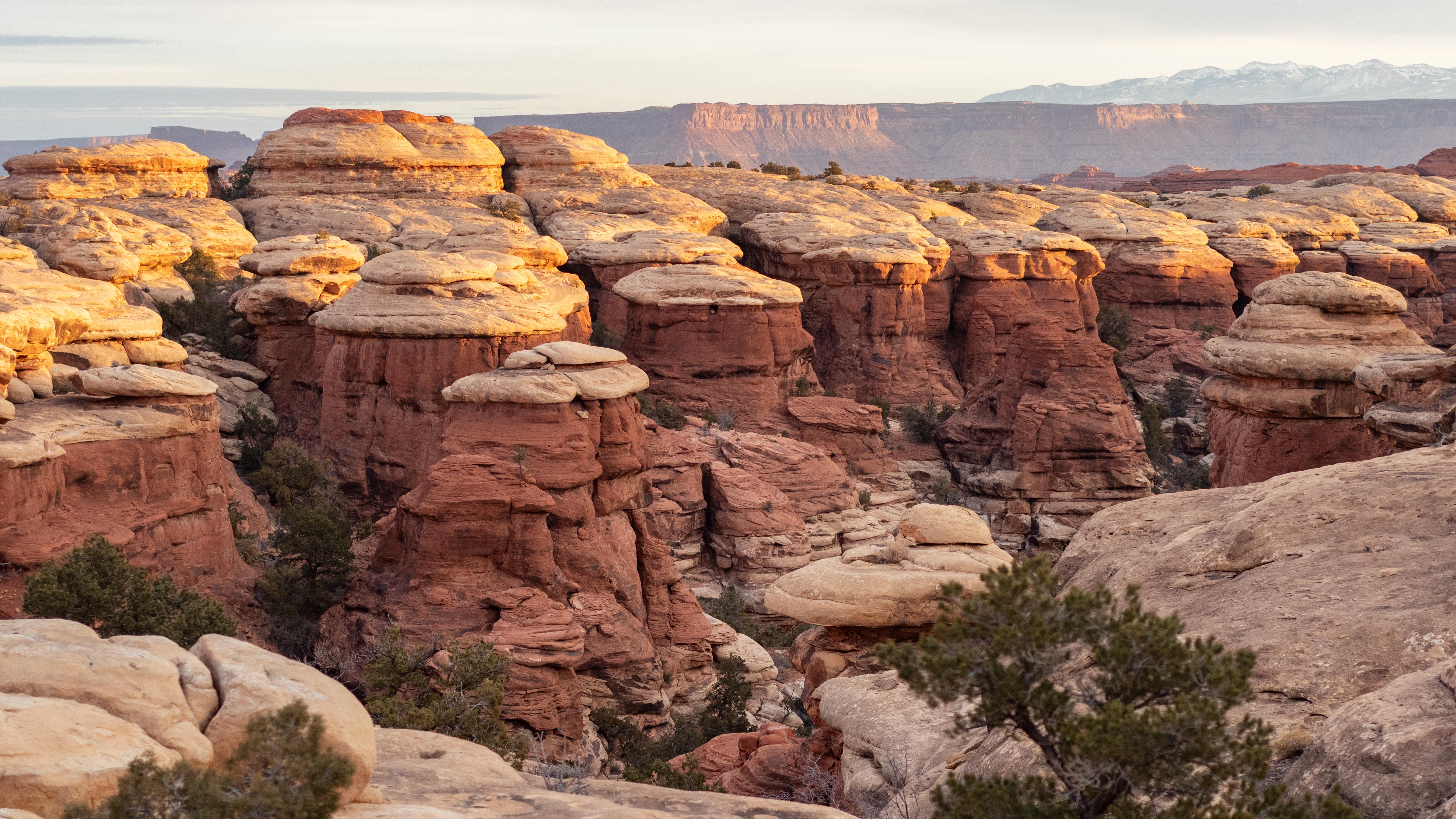 NPS/Rhodes Smartt
Canyonlands National Park
Grand View Point — overlook, trail, and final road stretch — closes Monday 6 a.m. to Thursday 4 p.m. every week from July 27 through October 1. Plan Island in the Sky around Mesa Arch and Green River Overlook instead.
Also tracking, not yet confirmed
Glacier's Logan Pass shuttle system called 'so far so good' by superintendent
Not yet verified for trip planning. Check the linked source directly before acting.
Wild Basin Road closes for grading and drainage work, July 21–23
Not yet verified for trip planning. Check the linked source directly before acting.