
 ADVNTR Road guide
Park Guide · Sierra Nevada, California
Yosemite National Park
A 51-page, route-first guide for planning Yosemite as five connected districts: Valley, Wawona and Mariposa Grove, Glacier Point and the South Rim, Tioga Road and Tuolumne Meadows, and Hetch Hetchy.
The Trailhead
Current conditions that may change your trip
Peak-season survey finds shorter entrance waits
Yosemite's preliminary numbers make a useful case for checking live entrance information instead of treating every summer day as gridlock. Keep the early start, but stop planning from old traffic horror stories.
See what changed →Eight lightning fires start across Yosemite
Eight lightning fires started in Yosemite in one morning, and none has closed a site yet. Keep the trip, but treat Glacier Point and Wawona smoke as a live variable, not scenery guaranteed.
See what changed →Mist Trail overcrowding raises safety alarms
Vernal Fall's granite steps are wet, railing-less in places, and now packed shoulder to shoulder — the direct cost of dropping the entry reservation system. If Mist Trail is on your list, go before 7 a.m. or take the quieter approach to Nevada Fall instead.
See what changed →The point of this guide
A better trip starts with a better read of the place.
Yosemite is not one postcard and it is not one itinerary. It is a connected Sierra park whose Valley, southern sequoia district, South Rim, high country, and northwest branch each ask for a different road, overnight base, and season. This edition turns that scale into decisions you can actually use.
Inside the guide
What this guide helps you plan
Updated August 2026
Orientation
Read the park as five districts
A map-led overview of the Valley, Wawona and Mariposa Grove, Glacier Point and the South Rim, Tioga Road and Tuolumne Meadows, and Hetch Hetchy.
Trip plans
Choose the district before the stop
Three route-first plans that connect entrances, overnight bases, seasonal roads, trail choices, and the time required to move through a large mountain park.
Field notes
Keep the live checks close
Offline-first planning for road openings, permits, reservations, shuttle boundaries, smoke, river and trail conditions, cell gaps, and the decisions that change the day.
Before you go
A few practical truths, up front
Conditions and prices move. Recheck the official links before departure.
- Park scale
- Nearly 1,200 square miles with 750+ miles of trail
- Plan around
- Seasonal roads, district choice, parking, permits, and weather
- Inside the guide
- Five districts · three trip plans · six official NPS map panels
- Live conditions
- Recheck roads, trails, facilities, smoke, and closures day-ofCheck live conditions details →
A look inside
See how the place and route fit together
A sample of the guide’s photography and route maps.
Field image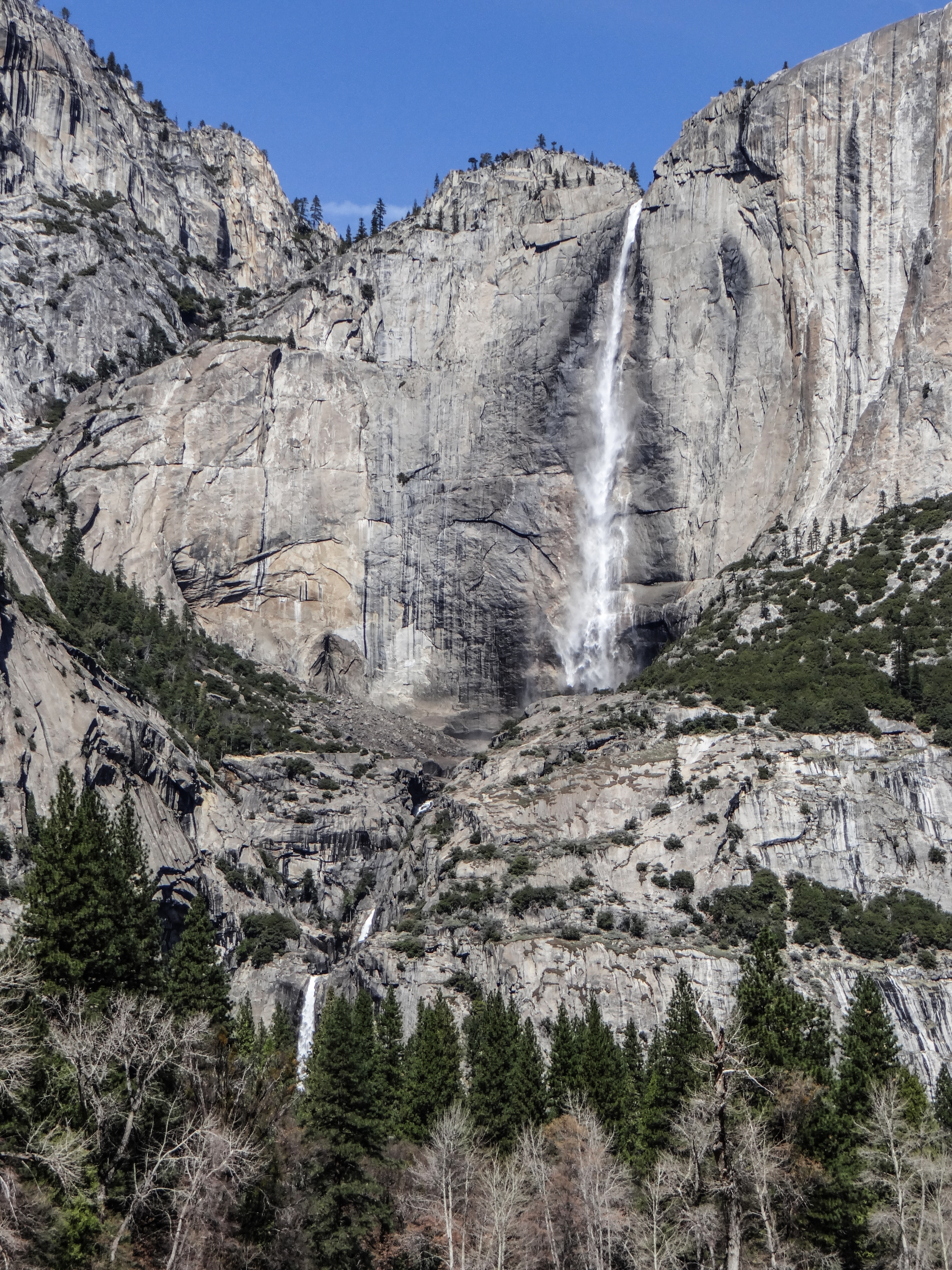 Field image
Keep it current
Check official conditions before you leave
Ready to plan the trip?