 ADVNTR Road guide
Park Guide · Northwestern Wyoming, Jackson Hole
Grand Teton National Park
A 37-page, route-first guide for planning Grand Teton around access, weather, construction, wildlife, and the northbound road spine toward Flagg Ranch and Yellowstone.
The Trailhead
Current conditions that may change your trip
Park closes out 25-year Resor land deal
This isn't a closure or a fee change — it's 35 acres of high-value, high-development-risk land near Teton Village that will never become another lodge. Quiet news, but it's the kind that actually holds a landscape.
See what changed →The point of this guide
A better trip starts with a better read of the place.
Grand Teton looks compact on a map and behaves like a long, weather-exposed road corridor. This guide organizes the park northbound through Jackson and Moose, Jenny Lake and Taggart, Signal Mountain and Jackson Lake, Colter Bay, Lizard Creek, and Flagg Ranch. That order keeps access and overnight choices connected.
Inside the guide
What this guide helps you plan
Updated August 2026
Orientation
Read the park as a road spine
A practical overview of the planning centers, entrances, construction boundaries, and northbound sequence that shape the trip.
Trip plans
Choose the corridor before the stop
Three route plans for an iconic first look, a slower lake-base trip, or a two-park move toward Yellowstone.
Field notes
Keep the live checks close
Construction, trail status, parking, weather, campground fit, permits, and seasonal services stay attached to the official sources that can change.
Before you go
A few practical truths, up front
Conditions and prices move. Recheck the official links before departure.
- Park entry
- $35 private vehicle · 7 daysCheck park entry details →
- Plan around
- Construction, parking, weather, and wildlife distance
- Northbound hinge
- Flagg Ranch / Headwaters toward Yellowstone
- Live conditions
- Recheck roads, trails, facilities, and weather day-ofCheck live conditions details →
A look inside
See how the place and route fit together
A sample of the guide’s photography and route maps.
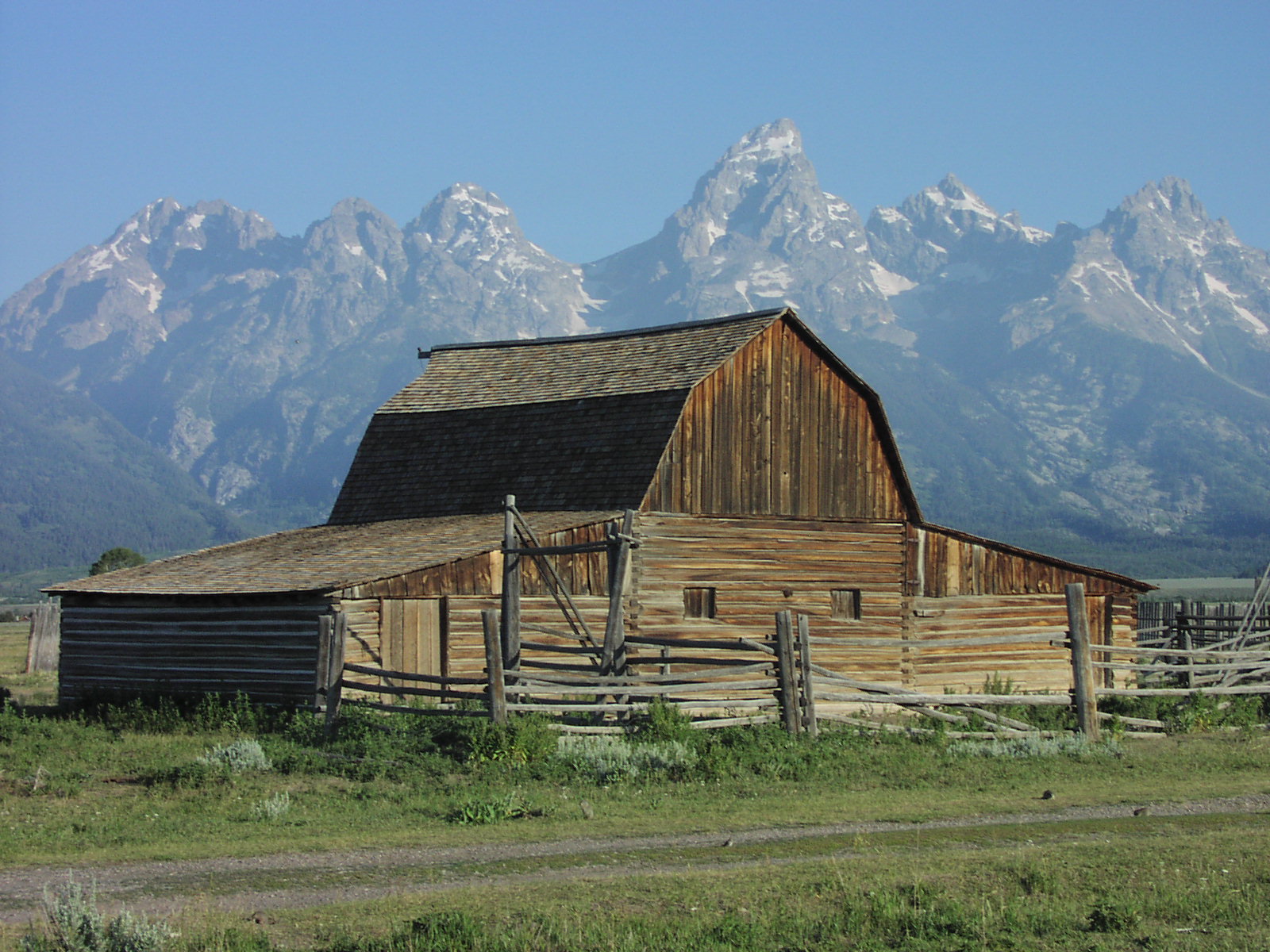 Field image
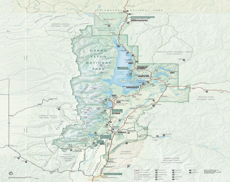 Route map
Keep it current
Check official conditions before you leave
Ready to plan the trip?