 ADVNTR Road guide
Park Guide · Wyoming, Montana, and Idaho
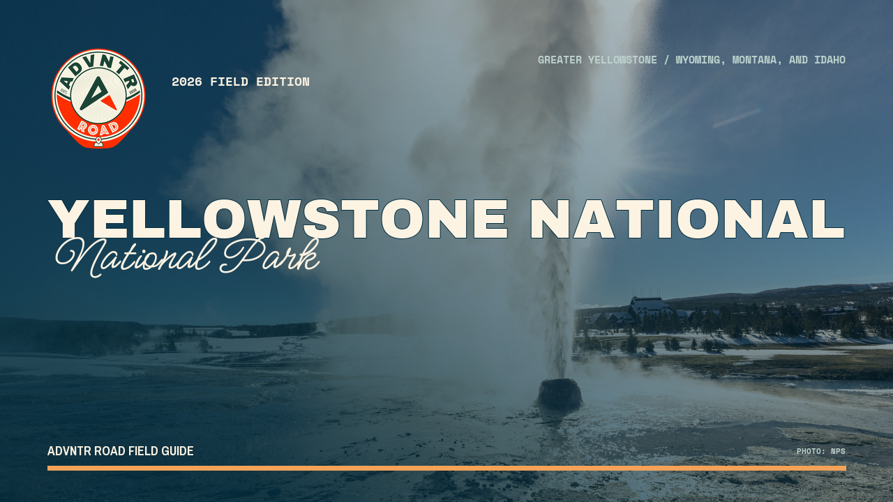
Yellowstone National Park
A 44-page, route-first guide for planning Yellowstone as five distinct systems: thermal basins, wildlife corridors, canyon country, lake country, and the seasonal roads that connect them.
The Trailhead
Current conditions that may change your trip
Three warm-water rivers reopen for morning fishing
The Firehole, Madison, and lower Gibbon are back—but only as morning rivers. Fish at first light and be done by 2 p.m.; a full-day plan still belongs on Yellowstone's lakes or cooler streams.
See what changed →Fishing restrictions lift on most rivers
Most Yellowstone rivers reopened to all-day fishing, but the Firehole, Madison and Gibbon remain closed. That is not a full reset: the park is handing you the cooler water and keeping the warmest rivers off limits.
See what changed →The point of this guide
A better trip starts with a better read of the place.
Yellowstone is not one scenic loop. It is a roughly 2.2-million-acre landscape where hydrothermal ground, wildlife movement, elevation, construction, weather, and long internal drives all shape the trip. This edition turns that scale into a set of route decisions you can actually use.
Inside the guide
What this guide helps you plan
Updated August 2026
Orientation
Read the park as five systems
A practical map-led overview of the North Range, Northeast, Central Canyon Country, Southwest Thermal Core, and South and Lake Country.
Trip plans
Choose the trip before the stop
Three trip plans for a geothermal five-day route, a wildlife-focused northern trip, or a seven-day full-loop tour of the park.
Field notes
Keep the live checks close
Offline-first planning for road openings, construction, thermal access, wildlife distance, campground fit, weather, reservations, and resupply.
Before you go
A few practical truths, up front
Conditions and prices move. Recheck the official links before departure.
- Park scale
- About 2.2 million acres across WY, MT, and ID
- Plan around
- Long transfers, seasonal roads, wildlife distance, and weather
- Inside the guide
- Five areas · three trip plans · six maps
- Live conditions
- Recheck roads, alerts, trails, facilities, and weather day-ofCheck live conditions details →
A look inside
See how the place and route fit together
A sample of the guide’s photography and route maps.
Field imageKeep it current
Check official conditions before you leave
Ready to plan the trip?