
 ADVNTR Road guide
Park Guide · Washington, Pacific Northwest
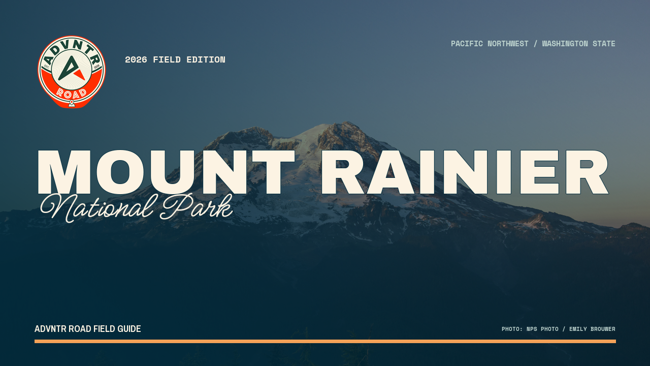
Mount Rainier National Park
No timed entry means 2019-era crowding is back, the Fairfax Bridge closure locks out the entire northwest corner, and Ohanapecosh is dark for the season. This guide covers the current 2026 picture: Paradise and Sunrise corridors, plus where to sleep when Cougar Rock’s dump station is offline.
The Trailhead
Current conditions that may change your trip
Wonderland Complex expands north-side closures
A north-side Wonderland itinerary is no longer a simple reroute. With the Carbon-to-White River spine and Northern Loop segments closed, rebuild the trip around the park's open south and west approaches.
See what changed →Grand Park 2 Fire closes Sunrise and White River
Sunrise and White River shut Friday afternoon with no reopening date, in the busiest alpine week of the year. If your Rainier trip was built around the northeast quadrant, it no longer exists — rebuild it around Paradise, and do it now, not at the gate.
See what changed →Backbone Fire smoke along SR 123
A 10-to-15-acre fire just outside Rainier's southeast boundary is throwing smoke visible from SR 123 and the Stevens Canyon area. It won't close your route, but it will haze the drive and the views on the park's quiet east side — plan photography accordingly.
See what changed →The point of this guide
A better trip starts with a better read of the place.
Mount Rainier is a high-elevation park with a low-elevation planning problem: the postcard view is not the itinerary. This edition is organized around the park’s actual corridors, the roads that decide whether they connect, and the lodging and closure details that change the shape of a day before you ever reach the trailhead.
Inside the guide
What this guide helps you plan
Updated August 2026
Orientation
Choose Paradise or Sunrise first
A clear read on the two primary visitor corridors, plus the southwest, southeast, and northwest options that deserve a separate decision.
Route logic
Plan with the closures in mind
Road access, construction, seasonal openings, and a map-led route plan that does not pretend every entrance is interchangeable.
Field notes
Sleep close enough to use the morning
Campgrounds, gateway towns, and the timing logic that turns a crowded high-country day into a workable one.
Before you go
A few practical truths, up front
Conditions and prices move. Recheck the official links before departure.
- Park entry
- $30 vehicle · 1–7 daysCheck park entry details →
- Annual pass
- $55 Mount Rainier annual pass
- Plan around
- Corridor access, crowd timing, and elevation
- Live conditions
- Check alerts immediately before departureCheck live conditions details →
A look inside
See how the place and route fit together
A sample of the guide’s photography and route maps.
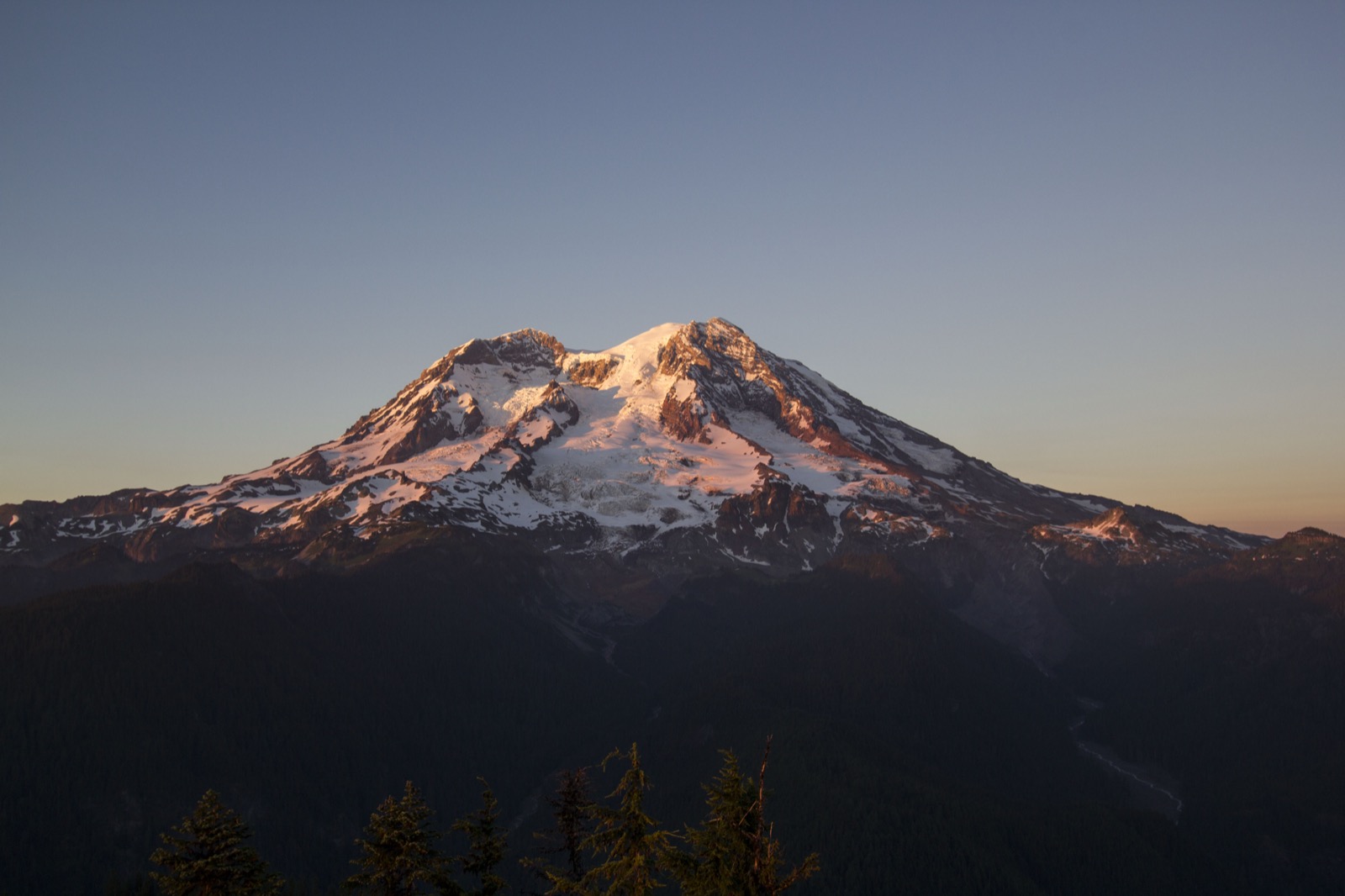 Field image
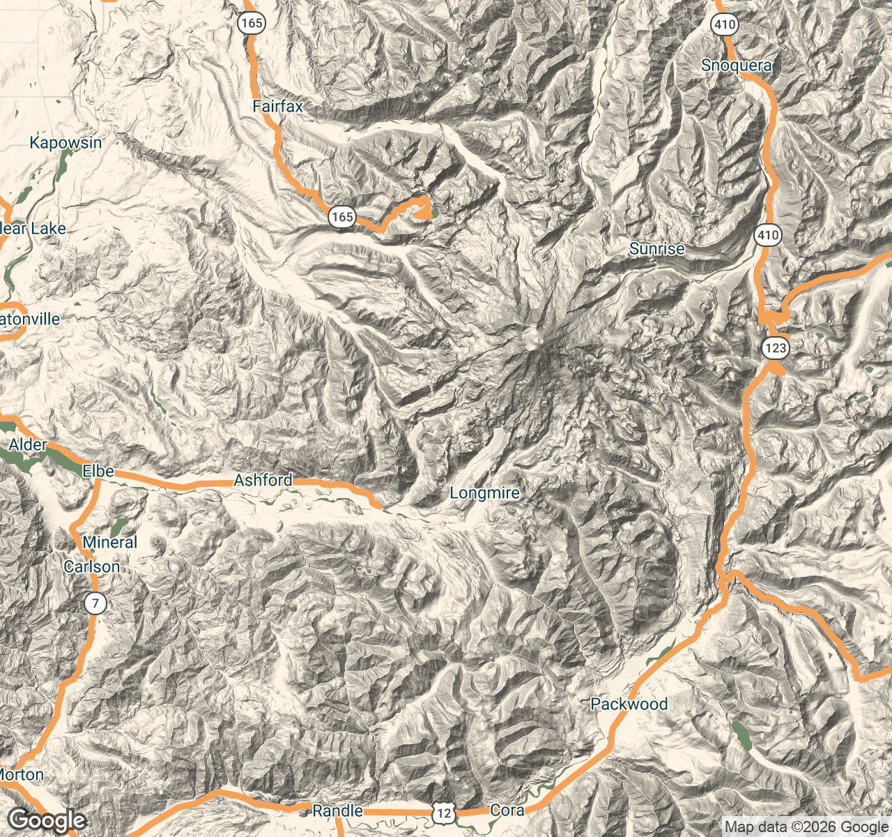 Route map
Keep it current
Check official conditions before you leave
Ready to plan the trip?