 ADVNTR Road guide
Park Guide · North Coast, California
Redwood National and State Parks
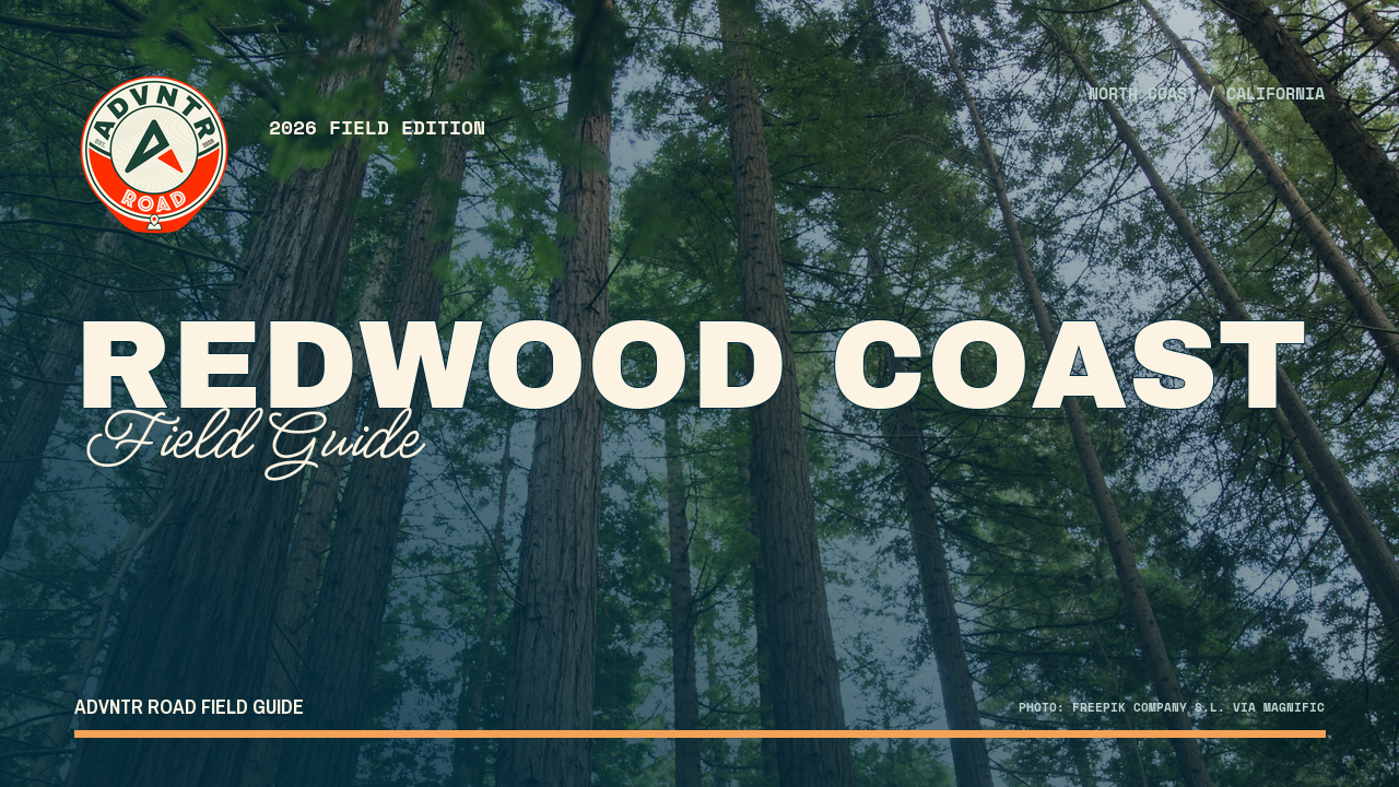
A 36-page, route-first guide for planning Redwood National and State Parks as a North Coast sequence of old-growth groves, river corridors, wild coast, campgrounds, permits, and vehicle-sensitive roads.
The point of this guide
A better trip starts with a better read of the place.
Redwood National and State Parks is not one compact loop. It is a long North Coast partnership where old-growth corridors, river crossings, reservations, vehicle limits, weather, and the distance between areas all shape the trip. The guide turns that scale into a route you can actually plan.
Inside the guide
What this guide helps you plan
Updated August 2026
Orientation
Read the coast as four areas
A practical map-led read of North Groves and Smith River, Klamath, Prairie Creek, and Redwood Creek with the gateways and transfers attached.
Trip plans
Choose the base before the stop
Three trip plans for a two-day northern base, a three-day Prairie Creek loop, or a five-day full-coast sequence.
Field notes
Keep the live checks close
Reservations, road notices, campground fit, high water, smoke, weather, and offline preparation stay connected to official recheck links.
Before you go
A few practical truths, up front
Conditions and prices move. Recheck the official links before departure.
- Partnership scale
- About 105,000 acres across four parks
- Plan around
- Long transfers, reservations, vehicle fit, and changing conditions
- Inside the guide
- Four areas · three trip plans · five maps
- Live conditions
- Recheck NPS, State Parks, permits, and Caltrans day-ofCheck live conditions details →
A look inside
See how the place and route fit together
A sample of the guide’s photography and route maps.
Field imageKeep it current
Check official conditions before you leave
Ready to plan the trip?