 ADVNTR Road guide
Corridor Guide · US-101, Oregon
Oregon Coast
Three hundred and sixty-three miles of US-101, split into the three coasts it actually is: postcard north, working-port middle, and cliff-and-quiet south. Tide windows make or break the signature stops.
ADVNTR Road · Oregon Coast field companion
Pacific Northwest
Oregon Coast
A long shoreline of towns, headlands, and working coast.
- OREGON, USA
- OREGON, USA
- 362 MILES OF PUBLIC OCEAN BEACHES
- 362 MILES OF PUBLIC OCEAN BEACHES
- US 101 · STATE PARK BASES · HEADLANDS
- US 101 · STATE PARK BASES · HEADLANDS
- UPDATED AUGUST 2026
- UPDATED AUGUST 2026
- Field decisions
- 10 experiences
2026 Field Edition · verified August 2026
01 / Orientation
Start with the shape of the place.
The Oregon Coast works best as a sequence of corridor commitments, not a checklist of every viewpoint.
Choose a north, central, or south center of gravity; reserve a legal base; and carry a same-corridor fallback for road, tide, weather, closure, and service changes.
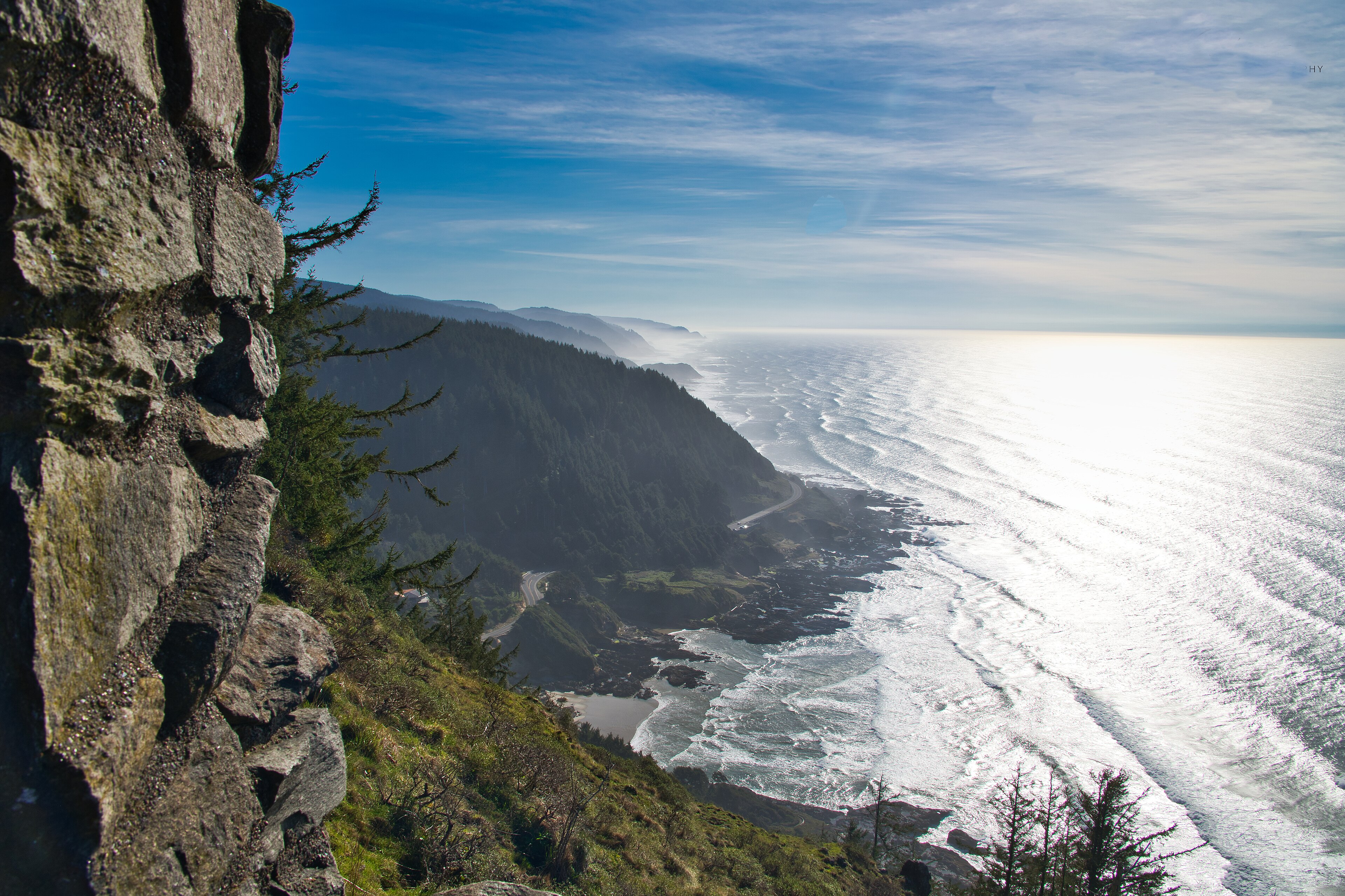
Oregon gives you 362 miles of public ocean shore, but it does not give you one continuous kind of day. The north begins with Astoria's river history, Fort Stevens, and busy beach towns. The middle gathers working towns, lighthouses, tidepools, forests, dunes, and two separate centers of gravity around Newport and Florence. The south slows into gardens, fishing towns, historic headlands, and the selected overlooks of Samuel H. Boardman. US 101 is the spine. The trip is the sequence you build around it: a town where you reset, a place with a real reason to stop, a legal base that fits the vehicle, and an alternate close enough to preserve the day when wind, tide, construction, wildlife rules, or parking says no. The [Oregon Parks and Recreation Department](https://www.oregon.gov/oprd/pcb/pages/pcb-overview.aspx) sets the public-shore context; [ODOT TripCheck](https://www.oregon.gov/ODOT/Maintenance/Pages/Traveler-Information.aspx) controls the road decision. The coast is easiest when you choose the part of it you actually want to inhabit. North is the compact history-and-headland trip. Central is the fork between Newport's marine access and Florence's dunes and lakes. South is the slower route, where Coos Bay, Bandon, Port Orford, and Gold Beach make the long shoreline manageable. You do not need to see everything to have seen the coast. Keep a second choice nearby. If fog, surf, a closure, or a full parking lot takes the headland off the table, use a town, museum, creamery, bay, garden, lake, or campground instead. You can keep the day moving without spending it behind the windshield.
02 / Trip shapes
Choose the trip you can actually give this place.
Each shape starts with a base, a commitment, and a fallback. Let the route fit the time you have instead of asking one day to represent the whole destination.
North Coast short route
A first coast trip with history, a service town, and one forested headland.
- Base
- Fort Stevens State Park or verified north-coast lodging
- Drive
- Short north-coast repositioning
- Energy
- Easy start with history and beach exposure
- Resupply
- Astoria
RouteAstoria → Fort Stevens → Cannon Beach / Ecola
See the day-by-day shape
- Day 1Build the day around the best current window.
- Day 2Build the day around the best current window.
If the plan changes
Recheck:
Central Coast depth route
Travelers choosing lighthouses, forest-headland trails, dunes, and a reliable official base.
- Base
- Beverly Beach State Park or verified Newport lodging
- Drive
- Newport and Yaquina corridor
- Energy
- Easy marine and lighthouse day
- Resupply
- Newport
RouteNewport → Yaquina → Cape Perpetua → Florence / Honeyman
See the day-by-day shape
- Day 1Build the day around the best current window.
- Day 2Build the day around the best current window.
- Day 3Build the day around the best current window.
If the plan changes
Recheck:
South Coast anchor route
A longer, exposure-aware route built around gardens, legal campground resets, history, and rugged viewpoints.
- Base
- Sunset Bay State Park or verified Coos Bay lodging
- Drive
- Coos Bay and Sunset Bay corridor
- Energy
- Easy sheltered-bay start
- Resupply
- Coos Bay
RouteCoos Bay → Shore Acres / Sunset Bay → Bandon → Cape Blanco → Boardman
See the day-by-day shape
- Day 1Build the day around the best current window.
- Day 2Build the day around the best current window.
- Day 3Build the day around the best current window.
- Day 4Build the day around the best current window.
If the plan changes
Recheck:
03 / Before you arrive
Prepare for the parts the scenery cannot solve.
Route check
Open TripCheck for the next move before you leave the base. A crash, construction zone, or weather closure can change which stop makes sense first.
Base check
Confirm the campground or lodging you actually booked: site length, hookups, dump access, arrival window, and the park notice for your dates.
Attraction check
Check the place you actually plan to visit. Hours, parking, reservations, closures, and access rules can change between the guide and your departure.
Exposure check
Check tide, surf, wind, and the latest site notice before cliffs, tidepools, dunes, or storm-wave viewpoints. If the water is rough, stay back.
Legal base
Carry a confirmed official campground or lodging reservation. A place mentioned in a video or comment is not a legal overnight plan.
Beach rules
Read the signs and current OPRD guidance before beach walking, driving, dogs, or kites in designated management areas.
Service reset
Top up fuel, food, water, and dump needs before the next long south-coast stretch. Smaller towns may not cover every reset.
Keep a second stop
Keep a nearby second stop in the same stretch of coast. A town, bay, garden, museum, lake, or campground can carry the day if the headline closes.
Carry this into the plan
- Check TripCheck for the complete planned route before each repositioning.
- Confirm the exact campground, site length, services, reservation status, and current notices.
- Check western snowy-plover rules before beach walking, driving, dog access, or kite activity from March 15 through September 15.
- Verify tide, surf, wind, fire, construction, and parking conditions for the exact stop.
- Save the official park, reservation, and road pages offline before leaving service.
- Carry a nearby backup and a legal overnight option.
Money, permits, and signal
- camping_range. Verify current Oregon State Parks rate at booking
- dump_station. Verify current park-specific fee and availability
- other. Day-use parking · Verify current OPRD rule · Check the official day-use parking page and the park page before arrival.
- Oregon State Parks campground reservation. Up to six months ahead for many parks
- Day-use parking. Park-specific
- Western snowy-plover management areas. Seasonal restrictions March 15–September 15 in designated areas
- .
- .
04 / Areas and corridors
Read the place by what the day asks of you.
These are not a checklist. They are different commitments, with different weather, roads, service gaps, and reasons to stay longer.
01
North Coast
History, service towns, and forested headlands in a compact first trip.
Start with a short corridor before you attempt the whole shoreline.
Plan around this: Fort Stevens South Loops are listed as closed for construction; check the official park page before using the campground as your base.
What to do
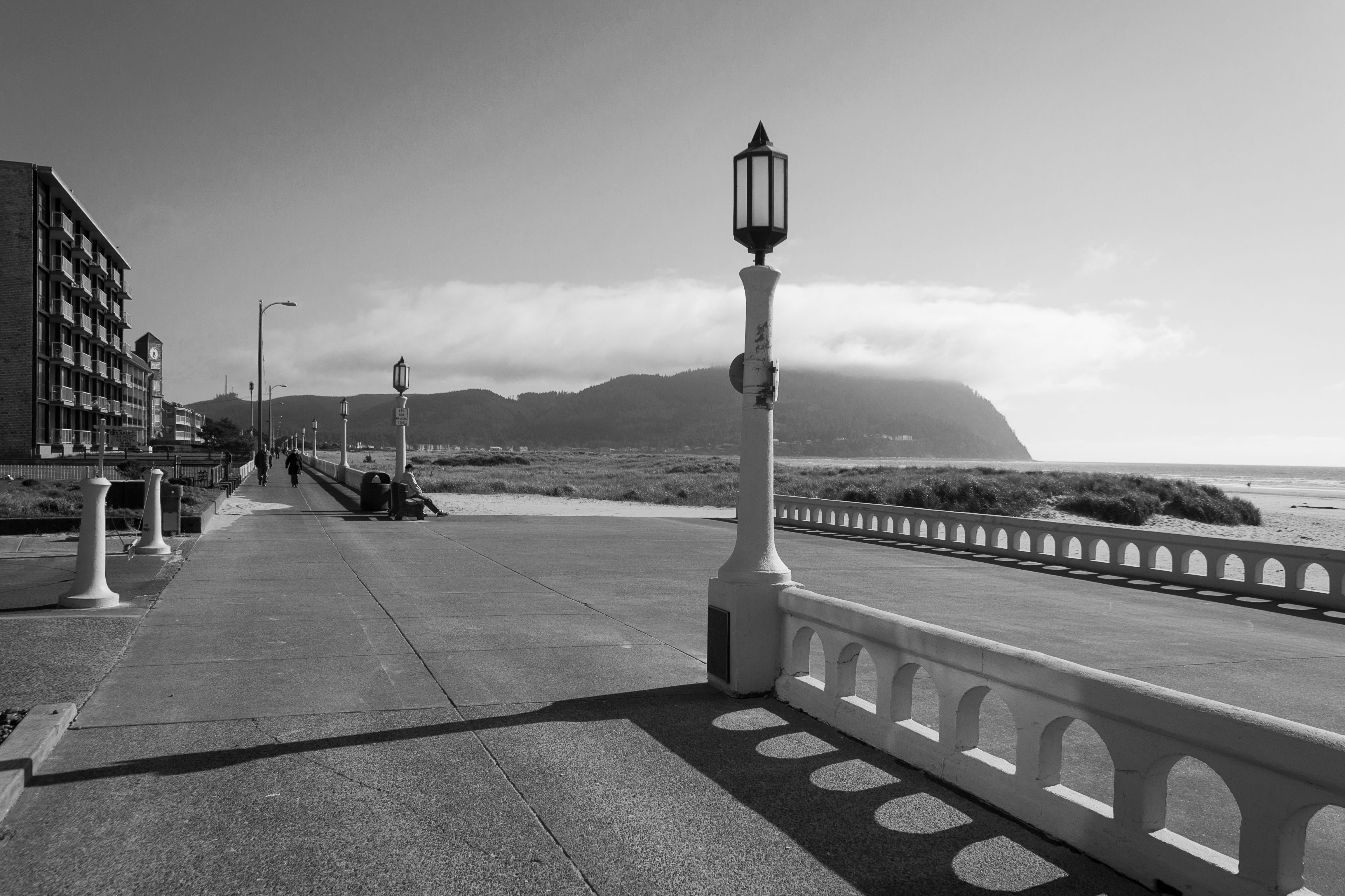
Fort Stevens beach and military landscape
The strongest north-coast opener when you want history, beach, lake, and a legal campground base in one stop.
- Distance
- Variable
- Difficulty
- Easy
- Time
- Half day
Ecola headland and Cannon Beach corridor
Choose it for the forest-to-ocean transition, not because every viewpoint can fit in the same afternoon.
- Distance
- Variable
- Difficulty
- Moderate
- Time
- Half to full day
Check before this corridor
https://www.oregon.gov/ODOT/Maintenance/Pages/Traveler-Information.aspxOfficial source · Conditions can change after the guide is written; check before departure.https://stateparks.oregon.gov/index.cfm?do=reserve.makeOfficial source · Conditions can change after the guide is written; check before departure.https://www.oregon.gov/oprd/pcb/pages/pcb-plovers.aspxOfficial source · Conditions can change after the guide is written; check before departure.02
Tillamook Coast
Bay, spit, and headland country where seasonal rules shape the day.
Keep a sheltered alternate ready when the exposed plan changes.
Plan around this: Cape Lookout is scheduled to close for improvements on August 3, 2026; Nehalem Bay remains the more dependable official base only when its live notices and restrictions fit the trip.
Nearby alternative: Cape Lookout headland
What to do
Nehalem Bay spit and bay corridor
A flexible base for bay views and beach time, provided you read the plover and roadwork notices before committing.
- Distance
- Variable
- Difficulty
- Easy
- Time
- Half day
Cape Lookout headland
Worth making the headline only after the current construction notice clears; otherwise shift to a same-corridor bay or town day.
- Distance
- Variable
- Difficulty
- Moderate
- Time
- Half day
03
Central Coast
Lighthouses, marine edges, forested headlands, and dunes split across two useful bases.
Newport and Florence are separate centers of gravity, not one efficient day.
Plan around this: Match the base to the main experience: Beverly Beach/Newport for lighthouses and marine access, or Honeyman/Florence for dunes and lakes.
Nearby alternative: Oregon Dunes and Honeyman lakes
What to do
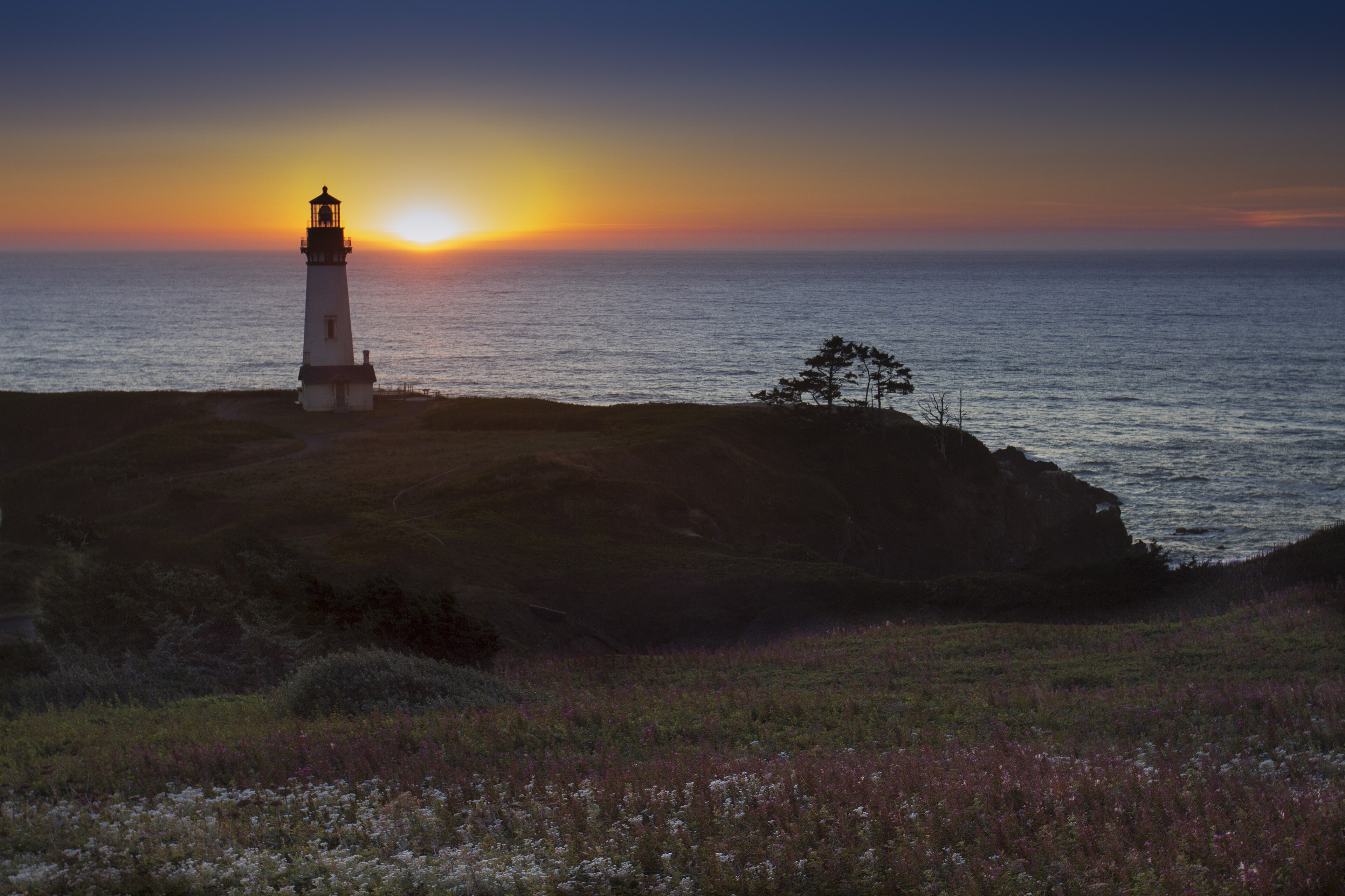
Yaquina and Newport lighthouse corridor
The cleanest central-coast choice for a mixed-interest day with town services and a short list of marine landmarks.
- Distance
- Variable
- Difficulty
- Easy
- Time
- Half day
Cape Perpetua headland and forest trails
Choose it when the trip needs a forest-to-headland experience rather than another beach stop.
- Distance
- Variable
- Difficulty
- Moderate
- Time
- Half to full day
Oregon Dunes and Honeyman lakes
The practical sheltered alternate when wind, surf, or a lighthouse schedule makes the ocean edge a poor bet.
- Distance
- Variable
- Difficulty
- Easy
- Time
- Half day
Check before this corridor
https://www.oregon.gov/ODOT/Maintenance/Pages/Traveler-Information.aspxOfficial source · Conditions can change after the guide is written; check before departure.https://stateparks.oregon.gov/index.cfm?do=reserve.makeOfficial source · Conditions can change after the guide is written; check before departure.https://www.oregon.gov/oprd/pcb/pages/pcb-plovers.aspxOfficial source · Conditions can change after the guide is written; check before departure.04
South Coast
Formal gardens, legal campground resets, working towns, and rugged headlands.
Slow down here; the reward is sequence, not a checklist of overlooks.
Plan around this: South-coast campground service mixes differ; Cape Blanco has no dump station, so plan the next service reset before arrival.
What to do
Sunset Bay and Shore Acres corridor
A high-value south-coast pairing when you want a sheltered bay, formal landscape, and an easy alternate to exposed viewpoints.
- Distance
- Variable
- Difficulty
- Easy
- Time
- Half day
Cape Blanco headland and lighthouse corridor
A strong history-and-headland stop for travelers who can accept a more limited service profile.
- Distance
- Variable
- Difficulty
- Moderate
- Time
- Half day
Samuel H. Boardman scenic corridor
Finish here when the route has enough time for viewpoints to breathe and the driver is willing to make weather and road conditions the priority.
- Distance
- Variable
- Difficulty
- Moderate
- Time
- Full day or route segment
Check before this corridor
https://www.oregon.gov/ODOT/Maintenance/Pages/Traveler-Information.aspxOfficial source · Conditions can change after the guide is written; check before departure.https://stateparks.oregon.gov/index.cfm?do=reserve.makeOfficial source · Conditions can change after the guide is written; check before departure.https://www.oregon.gov/oprd/pcb/pages/pcb-plovers.aspxOfficial source · Conditions can change after the guide is written; check before departure.05 / Sleep and resupply
Give the next morning a real starting point.
Base, fuel, food, water, and a place to sleep are part of the route—not errands after the route is decided.
Places to sleep
Fort Stevens State Park
true
The north-coast base with the broadest mix of history, beach, lake, and campground context. South Loops construction means the official page, not an old booking assumption, controls the decision. · Year-round; current loops varyCheck current details ↗Nehalem Bay State Park
true
The most useful Tillamook anchor when the bay-and-spit experience is open and the route can absorb the seasonal wildlife rules. It is a base, not a waiver of beach restrictions. · Year-roundCheck current details ↗Cape Lookout State Park
false
Keep this record in the planning inventory because it is a meaningful corridor base, but do not build an August 2026 trip around it without a current opening notice. · Scheduled closure from August 3, 2026; recheck live noticeCheck current details ↗Beverly Beach State Park
true
The central-coast north base for travelers who want Newport, Yaquina, and marine access without pretending Florence is the same day. Choose it for position and reset value. · Year-round; current inventory variesCheck current details ↗Jessie M. Honeyman Memorial State Park
true
The better central base when dunes, lakes, and campground scale matter more than lighthouse density. Treat seasonal OHV noise and the ocean-beach approach as part of the choice. · Year-round; current inventory variesCheck current details ↗Sunset Bay State Park
true
A sheltered south-coast anchor with a natural same-corridor alternate in Shore Acres. It is a useful reset when the ocean-facing plan becomes too exposed. · Year-round; current inventory variesCheck current details ↗Fuel, food, and water
Astoria
Newport
Florence
Coos Bay
Bandon and Port Orford
06 / Live decision layer
Recheck the things that can change.
Use these links at the point of decision. They are intentionally attached to access, service, weather, reservation, and safety questions—not separated into a generic resources page.
Field notes
The longer read.
Orientation
Oregon gives you 362 miles of public ocean shore, but it does not give you one continuous kind of day. The north begins with Astoria's river history, Fort Stevens, and busy beach towns. The middle gathers working towns, lighthouses, tidepools, forests, dunes, and two separate centers of gravity around Newport and Florence. The south slows into gardens, fishing towns, historic headlands, and the selected overlooks of Samuel H. Boardman.
US 101 is the spine. The trip is the sequence you build around it: a town where you reset, a place with a real reason to stop, a legal base that fits the vehicle, and an alternate close enough to preserve the day when wind, tide, construction, wildlife rules, or parking says no. The [Oregon Parks and Recreation Department](https://www.oregon.gov/oprd/pcb/pages/pcb-overview.aspx) sets the public-shore context; [ODOT TripCheck](https://www.oregon.gov/ODOT/Maintenance/Pages/Traveler-Information.aspx) controls the road decision.
The coast is easiest when you choose the part of it you actually want to inhabit. North is the compact history-and-headland trip. Central is the fork between Newport's marine access and Florence's dunes and lakes. South is the slower route, where Coos Bay, Bandon, Port Orford, and Gold Beach make the long shoreline manageable. You do not need to see everything to have seen the coast.
Keep a second choice nearby. If fog, surf, a closure, or a full parking lot takes the headland off the table, use a town, museum, creamery, bay, garden, lake, or campground instead. You can keep the day moving without spending it behind the windshield.
Before You Arrive
Start with the part of the coast that can hold your trip together. Then choose the viewpoints, towns, and attractions that fit that base.
**For two days:** use Astoria or Fort Stevens as the north anchor, then decide whether Cannon Beach and Ecola are worth the parking, fog, and approach conditions. Astoria gives you a service reset, the Columbia River Maritime Museum, and the Astoria Column; Fort Clatsop adds a separate history stop south of town.
**For three days:** choose Newport and Beverly Beach if the aquarium, Yaquina Head, lighthouses, and town services are the draw. Choose Florence and Honeyman if dunes, lakes, and campground scale matter more. Cape Perpetua and Yachats are the texture change between them, not a free add-on to both.
**For four days or more:** let Coos Bay, Bandon, Port Orford, and Gold Beach divide the south coast into usable segments. Sunset Bay and Shore Acres can carry a weather-softened day; Cape Blanco and Boardman deserve time, not a drive-by promise.
Reserve through [Oregon State Parks](https://stateparks.oregon.gov/index.cfm?do=reserve.make), then reopen the park page before departure. Reservation windows, site fit, construction, campground services, closures, and wildlife rules are park-specific. Save the reservation, park notices, and [TripCheck](https://www.oregon.gov/ODOT/Maintenance/Pages/Traveler-Information.aspx) offline before you leave service.
Before you leave, name the next stop if the first one is closed, full, fogged in, or too exposed. That one decision keeps a changed plan from becoming a wasted day.
02B Itineraries
Choose the route that matches your time and your reason for going. Each option keeps its stops within one workable stretch of coast.
**The north coast in 2 days.** Begin in Astoria with the river, the museum, and the Column. Use Fort Clatsop and Fort Stevens to move from history into beach and military landscape. Finish around Seaside, Cannon Beach, or Ecola, depending on parking and weather. This is the best first trip when you want several kinds of coast without a long repositioning day.
**The central coast in 3 days.** Choose Newport for marine life, Yaquina Head, lighthouses, and town services. Choose Florence for dunes, Honeyman lakes, and a larger campground base. Cape Perpetua and Yachats add a forested headland and a small town between them. Do not book Newport and Florence as casual same-day bookends. The drive between them takes the time you hoped to spend exploring.
**The south coast in 4 days.** Start with Coos Bay and Charleston. Use Sunset Bay and Shore Acres for a sheltered beach, garden, and headland day. Slow down around Bandon and Bullards Beach, then choose sections of Port Orford, Cape Blanco, Humbug Mountain, Gold Beach, and Boardman. The south needs time because each stop asks for something different.
For any option, reserve the base, check the road, choose one main stop, and name a nearby fallback before leaving. The route stays useful when weather, access, or crowds change the plan.
Where To Sleep
Your overnight choice shapes the next day. A good base puts the main experience close and leaves room for fuel, food, and a change in weather.
Fort Stevens works as a north base when its current loops and construction notice fit. Nehalem Bay works for the Tillamook coast when the bay, spit, and wildlife rules fit your dates. Beverly Beach and Honeyman serve different central-coast plans: Newport and Florence. Sunset Bay, Bullards Beach, and Cape Blanco support the south, but their services differ. Cape Blanco has no dump station in the current inventory.
Cape Lookout remains in the route inventory because it matters to the corridor, not because it is safe to promise as a 2026 base. Its scheduled improvement closure means the current [OPRD park page](https://stateparks.oregon.gov/index.cfm?do=park.profile&parkId=134) controls the decision.
Use the cards as a shortlist. Before booking, confirm the site length, hookup type, dump access, rate, reservation status, construction, and beach or wildlife notices. A private lot, supermarket permission, or creator anecdote is not an overnight option until the operator confirms it.
04A North Coast
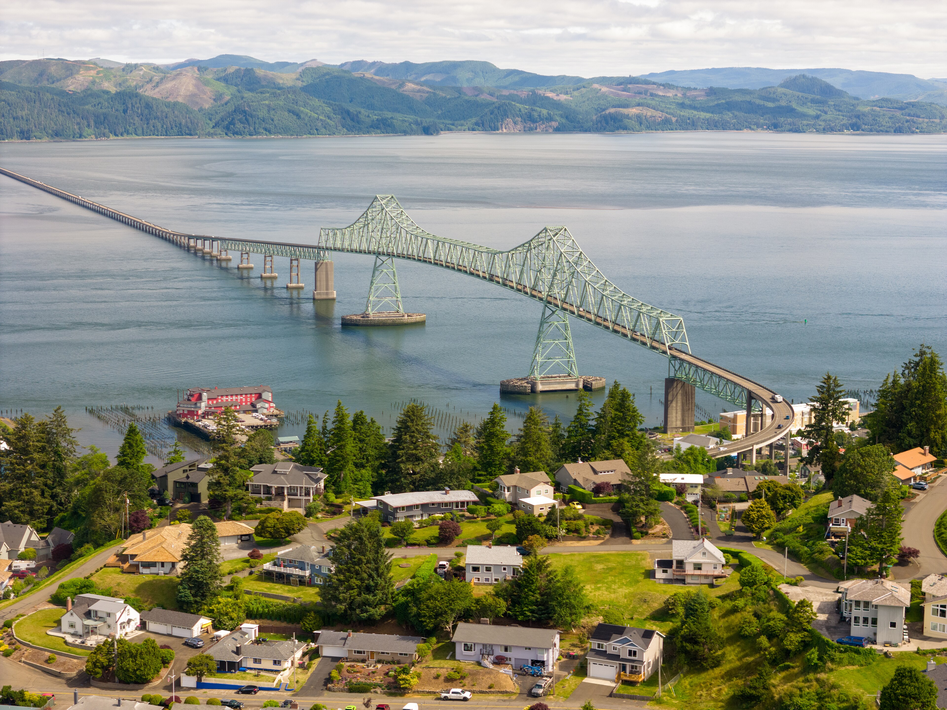
Astoria is the right opening when you want the coast to have a past. The [Columbia River Maritime Museum](https://www.crmm.org/index.html) gives the river mouth a working context; the [Astoria Column](https://astoriacolumn.org/) changes the view from water level to map; Fort Clatsop adds a separate federal history stop south of town. These are not filler before the “real” coast. They explain why this edge of Oregon feels different.
Fort Stevens turns the route toward beach, lake, military history, and a legal campground base. The Peter Iredale is the obvious photograph, but the park can hold a half day when wind or fog changes the plan. Check the South Loops construction notice before booking it as your overnight base.
Seaside and Gearhart are the practical reset. Cannon Beach and Ecola are the north-coast headline, but they are also the most likely places to punish an overpacked day with parking friction, fog, crowds, or a weather-shut view. Arcadia Beach, Hug Point, Oswald West, Short Sand, and Cape Falcon extend the route south; Hug Point is tide-dependent and currently carries an erosion closure, while Oswald West has a current trail advisory.
Build the day around one north-coast thread: river history, military history, or a headland. Leave enough time for Seaside, a lake, or a museum if the ocean edge does not cooperate.
04B Tillamook Coast
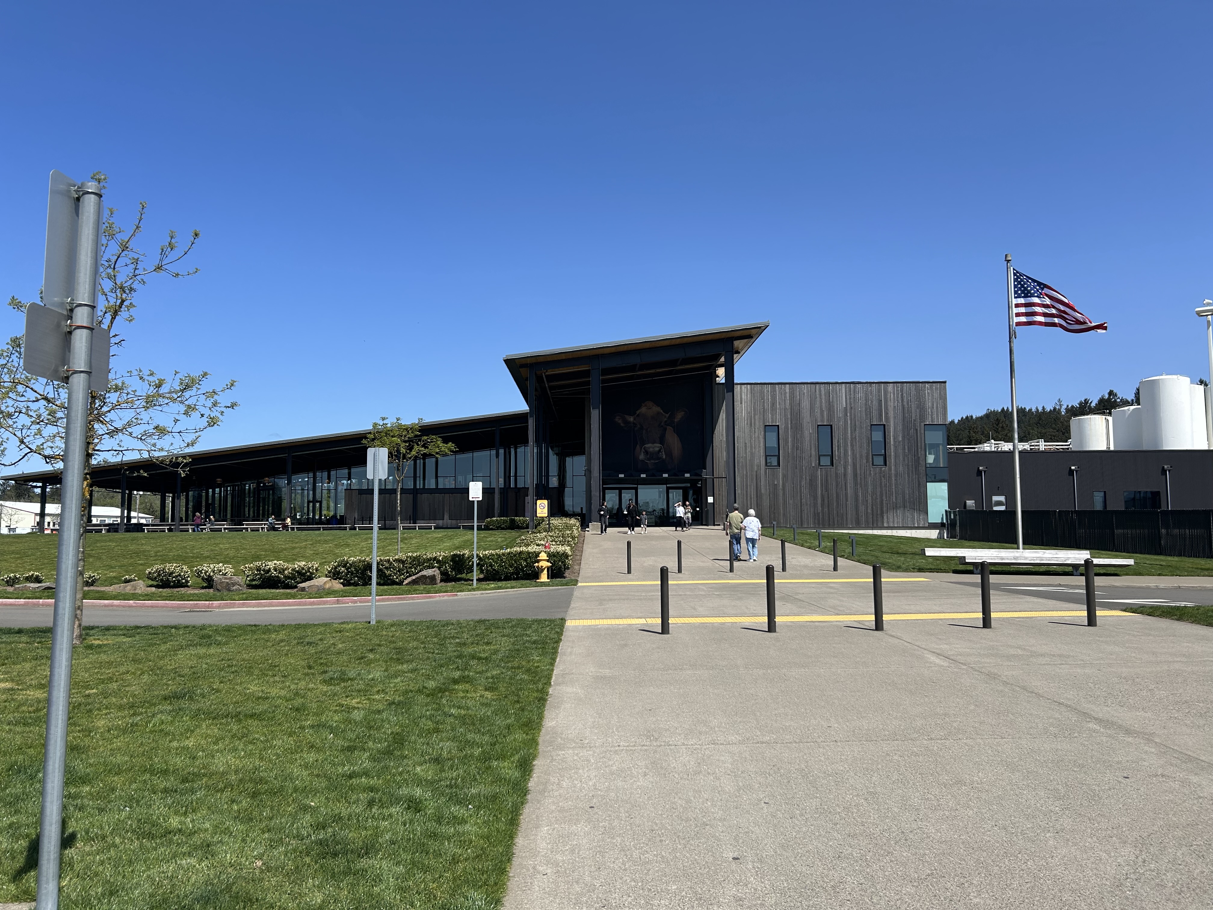
The Tillamook stretch is where the guide should stop pretending the coast is only scenery. Manzanita and Nehalem Bay give you a town-and-bay base. Tillamook gives you an actual service town and the [Tillamook Creamery](https://www.tillamook.com/visit-us/creamery), a useful wet-weather attraction with a viewing gallery, farm exhibit, dining, and ice cream. Current visitor hours, premium experiences, large-vehicle parking, and the no-overnight rule belong to the official page.
Oceanside and Cape Meares make a smaller, more textured detour: a coastal town, a lighthouse, forest, and short viewpoints on the Three Capes route. Cape Lookout is a stronger headland when open, but the scheduled 2026 closure means it is a conditional headline, not a fixed itinerary anchor. Pacific City and Cape Kiwanda bring a working beach town and fragile sandstone headland together; fences, parking, beach-driving rules, and road notices matter here.
The western snowy-plover season can change what “beach time” means from March 15 through September 15 in designated management areas. Read [OPRD guidance](https://www.oregon.gov/oprd/pcb/pages/pcb-plovers.aspx), follow the signs, and let the current site notice outrank the route plan.
Pair an exposed stop with a practical one. Tillamook or Manzanita can give the day somewhere to go when Cape Lookout, Cape Kiwanda, or the beach is not workable.
04C Central Coast
The central coast is not one efficient cluster. Depoe Bay and Devils Punchbowl make a selected surf-and-geology day; the Whale Watching Center has a current summer 2026 repair closure, so nearby viewpoints are the fallback. Newport and Yaquina Bay are the stronger town-and-marine center, with the [Oregon Coast Aquarium](https://tickets.aquarium.org/) as a real weather option rather than a vague “indoor activity.”
Yaquina Head adds a BLM lighthouse, interpretive center, wildlife, and tidepools, but its lots, fees, and seasonal access rules belong to the current BLM page. Waldport and Seal Rock give the route a quieter bridge-and-beach pause. Cape Perpetua and Yachats change the texture again: forest, headland, and town rather than another long strand of sand.
Florence, Honeyman, and the Oregon Dunes are the other center of gravity. Choose them when lakes, dunes, and campground scale lead. The [Forest Service Oregon Dunes guide](https://www.fs.usda.gov/sites/nfs/files/legacy-media/siuslaw/Oregon%20Dunes%20Map%20and%20Guide.pdf) is useful orientation, but match the dunes experience to its exact access point and current OHV or facility notice.
Choose Newport or Florence as your central base. Add Cape Perpetua, Yaquina Head, or the dunes from that side of the coast. Trying to use both towns as casual bases turns the middle of the trip into a shuttle.
04D South Coast
Coos Bay and Charleston are the reset before the south becomes a sequence of longer decisions. Sunset Bay, Shore Acres, and Cape Arago belong together: sheltered beach, formal gardens, headland, tidepools, and wildlife. [Shore Acres](https://stateparks.oregon.gov/index.cfm?do=park.profile&parkId=68&pubDate=20250505) is especially valuable as the softer answer when surf, wind, or exposure makes the headland a poor trade.
Bandon and Bullards Beach give the route a legal base and a working town. Face Rock is the intertidal attraction; it is a place to read the shore, not a guarantee that the water's edge is safe at every hour. Port Orford and Cape Blanco add a working harbor, history, and a more exposed headland. Handle the service reset before Cape Blanco; its accepted campground inventory has no dump station.
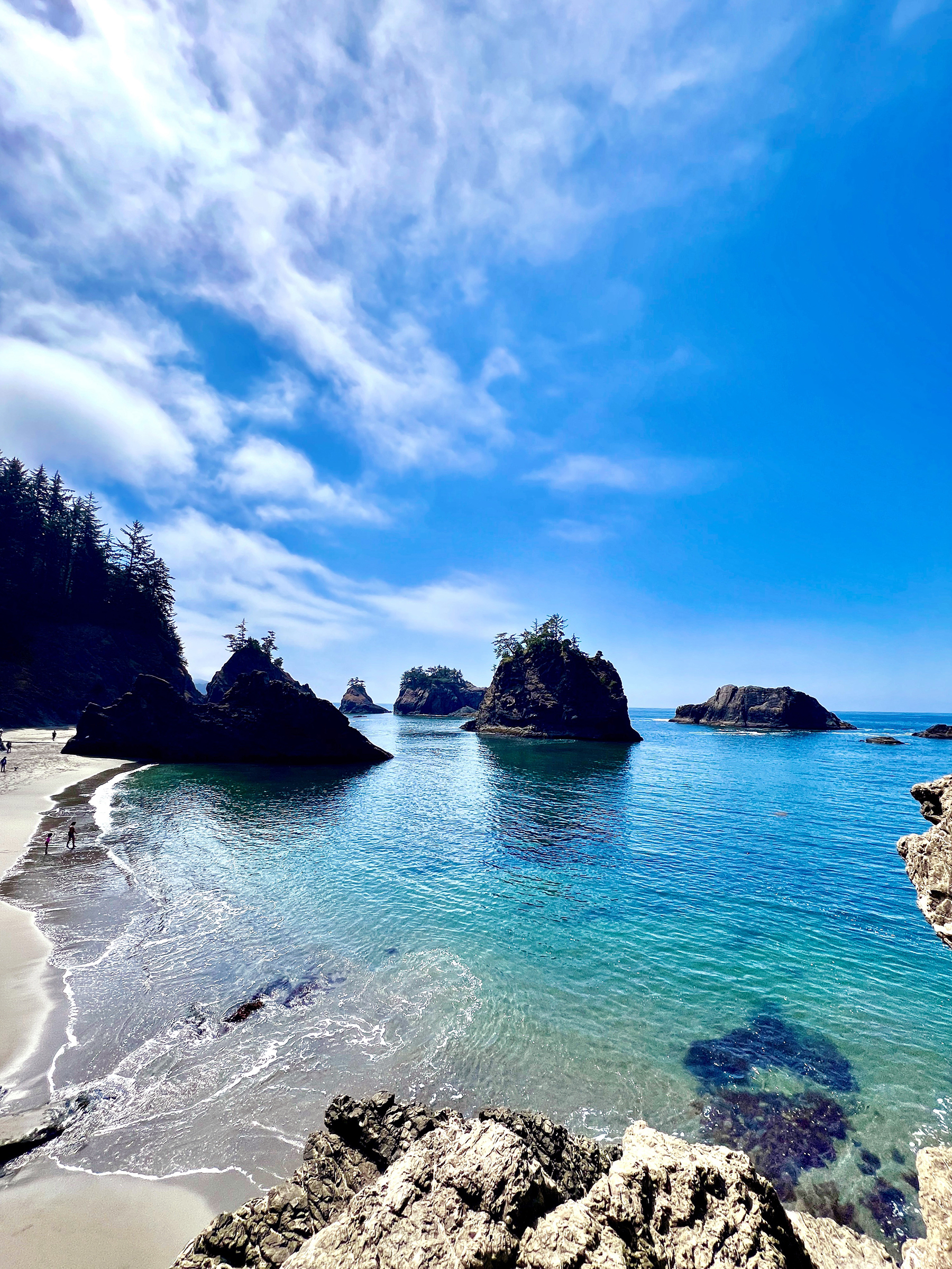
Humbug Mountain and Gold Beach prepare the final run toward Samuel H. Boardman. Boardman is a 12-mile corridor of selected turnoffs, viewpoints, and trailheads, not one magic overlook. Use the [OPRD corridor page](https://stateparks.oregon.gov/index.cfm?do=park.profile&parkId=56), current TripCheck information, and conservative exposure judgment to choose the stops the day can actually hold.
Break up the overlooks with a garden, harbor, beach, or town. The south coast feels better when you leave time between viewpoints.
Ready to plan the trip?