 ADVNTR Road guide
Park Guide · Pacific Northwest, Southern Oregon Cascades
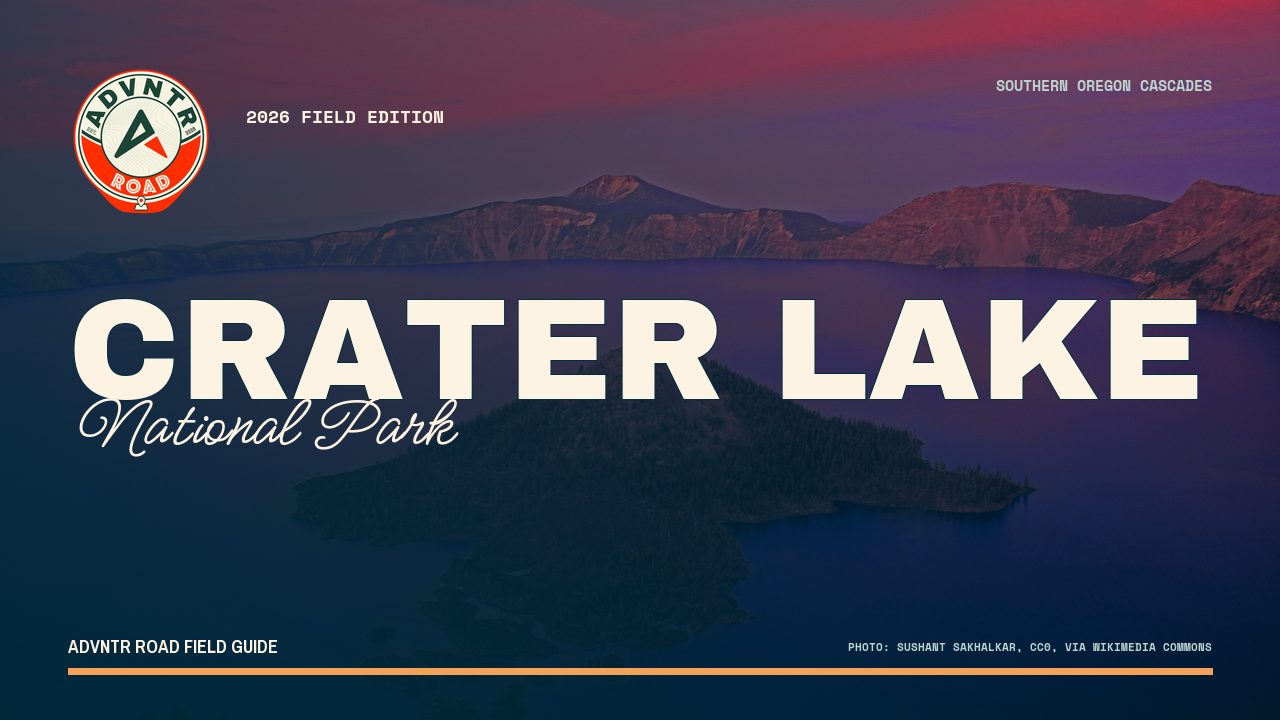
Crater Lake National Park
The 33-mile rim drive around the deepest lake in America, plus the forest corridor and volcanic outskirts most visitors never see. Cleetwood Cove is closed through 2028, so this guide helps you choose another plan.
The point of this guide
A better trip starts with a better read of the place.
Reducing Crater Lake to one overlook leaves the route underplanned. This guide covers the west rim, service corridor, east rim, and north approach while keeping the 2026 closure boundary and winter access pattern in view.
Inside the guide
What this guide helps you plan
Updated August 2026
Orientation
Keep the rim drive honest
A map-led explanation of what is connected, what is seasonal, and where the famous loop stops being a useful assumption.
What to do
Trade the closed objective for a good day
Rim viewpoints, Watchman, Garfield, Plaikni, and the volcanic outskirts, with current access conditions attached to each idea.
Field notes
Use the service spine
Mazama, Rim Village, Diamond Lake, and the west / south gateways as practical support rather than afterthoughts.
Before you go
A few practical truths, up front
Conditions and prices move. Recheck the official links before departure.
- Summer entry
- $30 vehicle · 7 daysCheck summer entry details →
- Winter entry
- $20 vehicle · 7 days
- Current heads-up
- Cleetwood Cove is closed through 2028
- Live conditions
- Check roads, facilities, and weather day-ofCheck live conditions details →
A look inside
See how the place and route fit together
A sample of the guide’s photography and route maps.
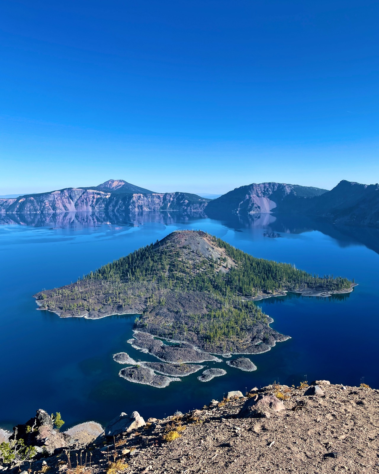 Field image
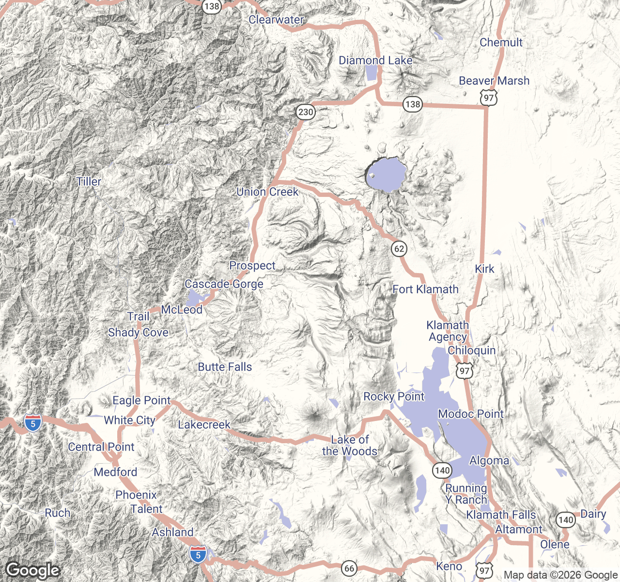 Route map
Keep it current
Check official conditions before you leave
Ready to plan the trip?